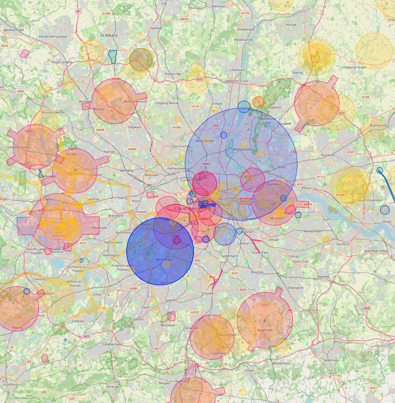
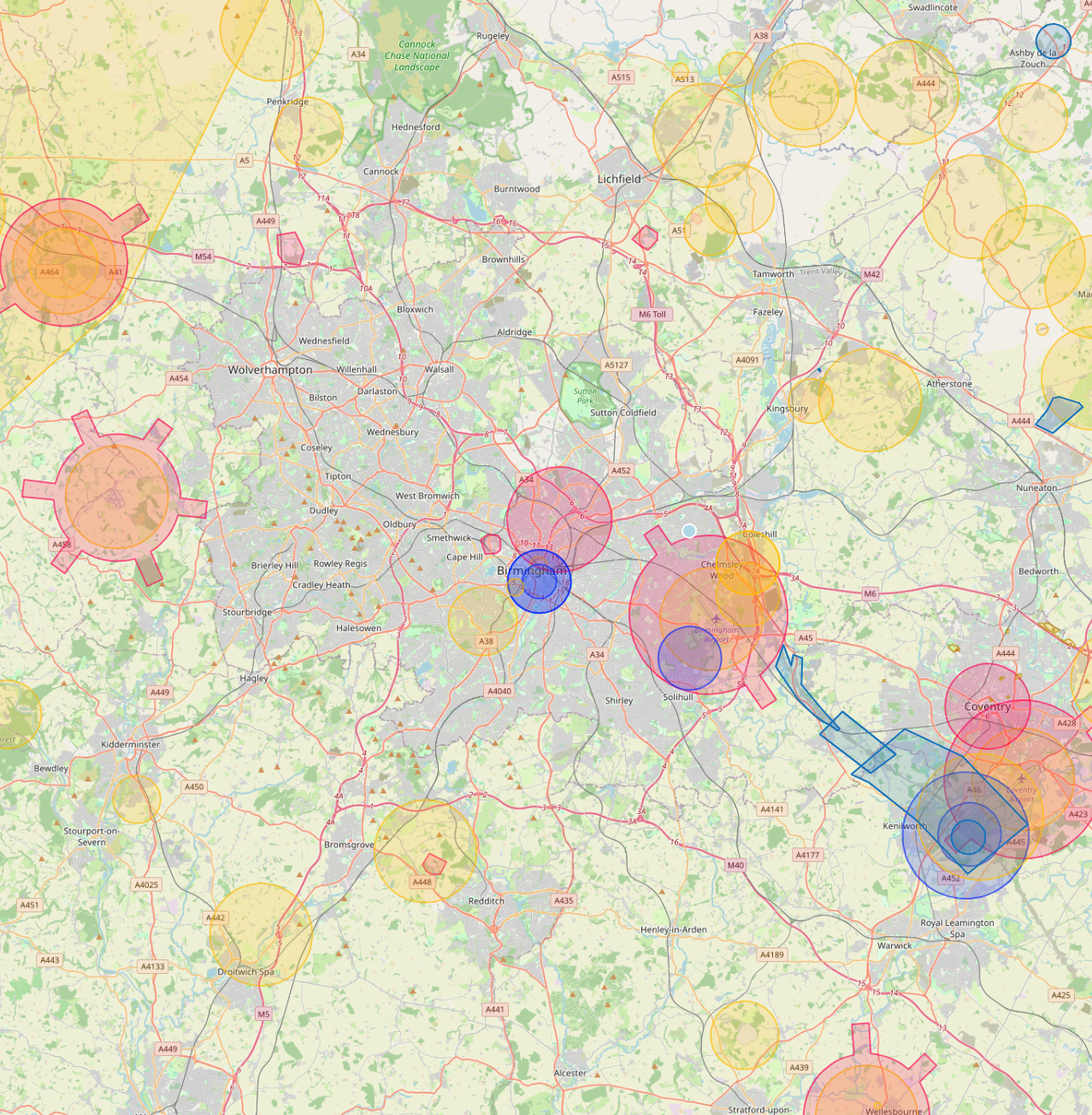
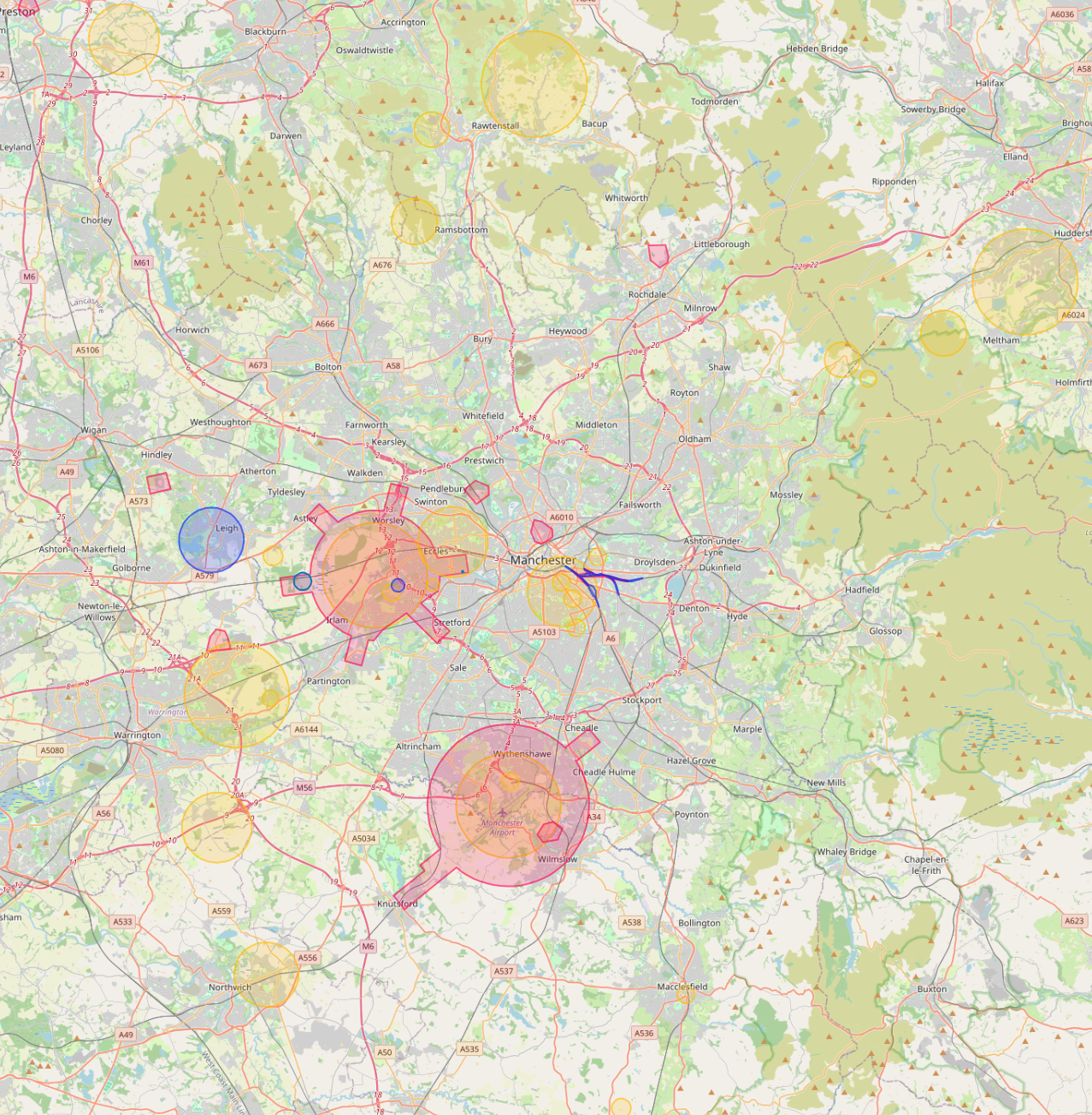
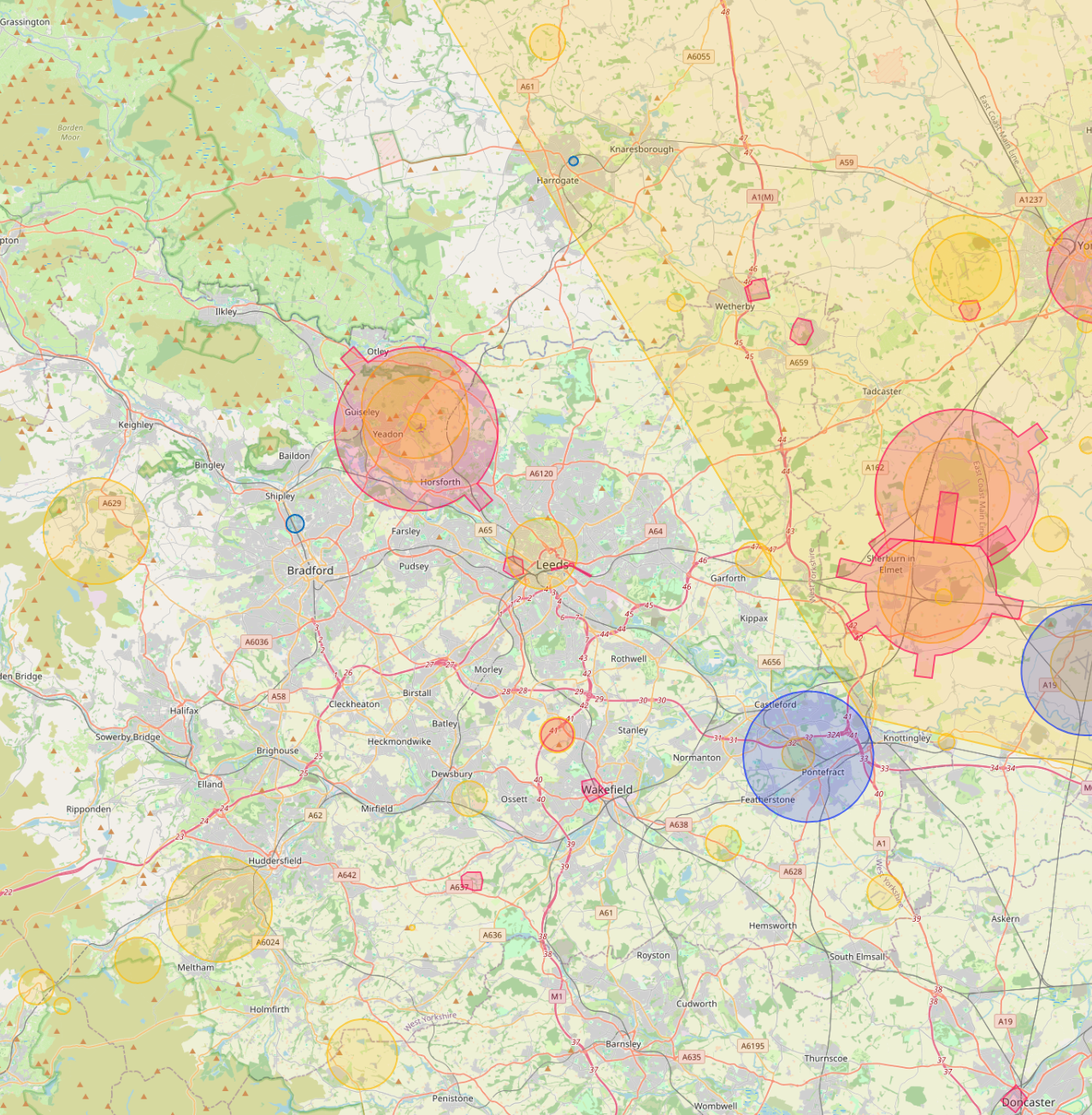
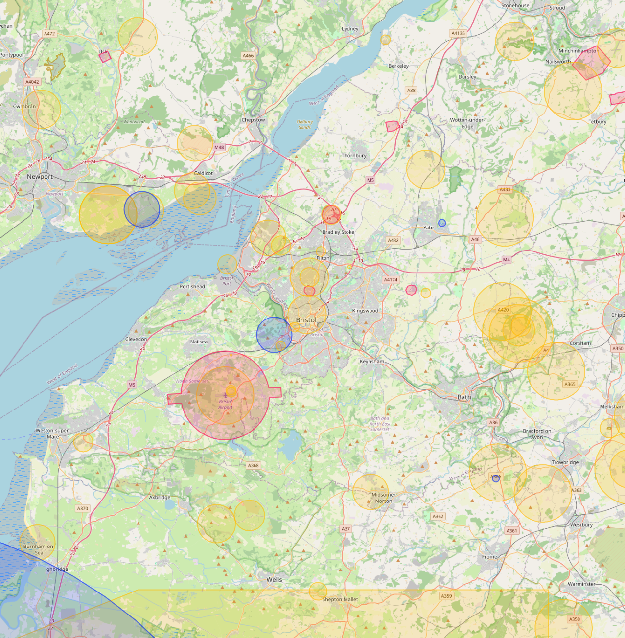
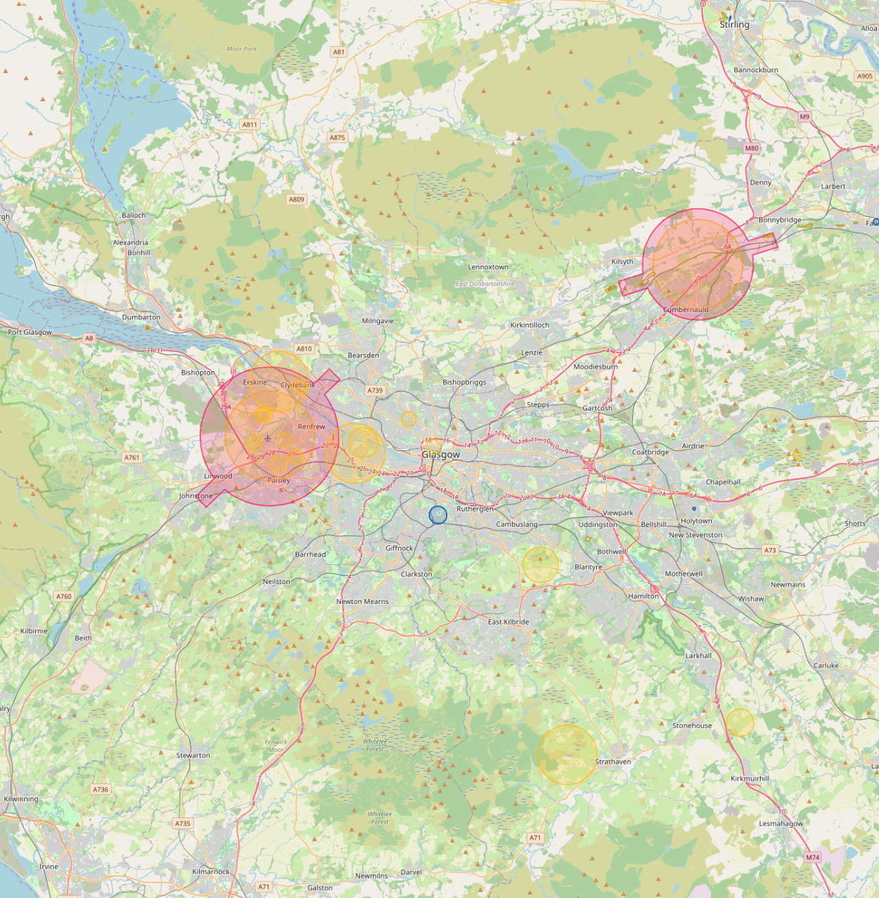
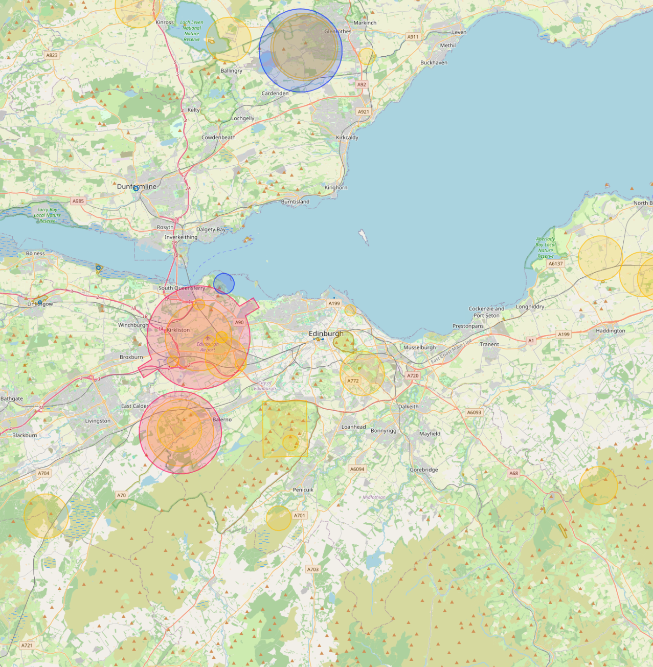
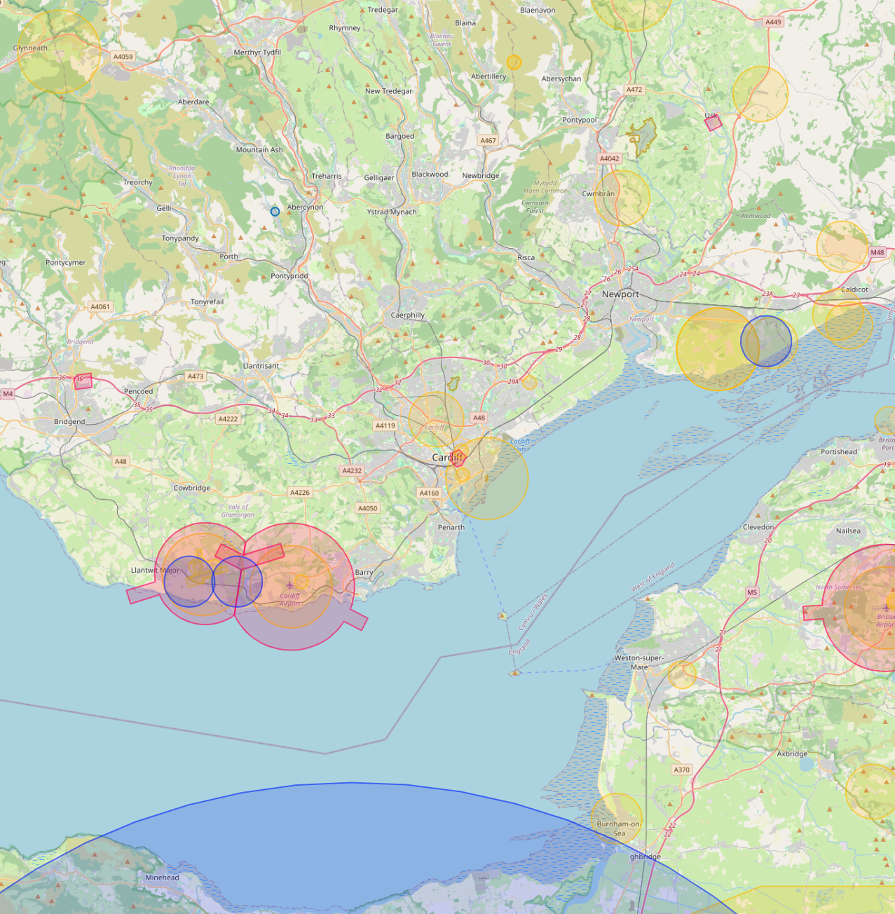
Drone teams in every major UK city.
Same central operations team, same enhanced CAA permissions, deployed wherever the site is. Browse our most-requested coverage areas, or see all 32 cities.
We take the hassle out of drone work. CAA permissions, certified pilots, calibrated kit, insurance, processing, deliverables, all handled. You scope the brief, we capture the data, AIM Platform delivers it to your team.
Same central operations team, same enhanced CAA permissions, deployed wherever the site is. Browse our most-requested coverage areas, or see all 32 cities.
Most of our clients are professional firms scoping drone capture as part of a larger piece of work. We sit behind your brand or alongside it, ready when the brief calls for aerial data.
Add aerial and thermal capability to your survey output without hiring pilots, buying kit, or maintaining CAA permissions. White-labelled deliverables on request.
Architects, building consultants, engineers and FM firms. We capture; you advise. Output integrates directly into your existing reporting workflow.
Main contractors, sub-contractors and developers. Progress monitoring, volumetric, QA evidence and live streaming. Replace the weekly site visit with a hosted record.

Seven specialised services, one central team. Same quality, same cost, nationwide. We capture the data, AIM Platform processes, hosts, and shares it.

Safer than scaffolding for vertical inspection.
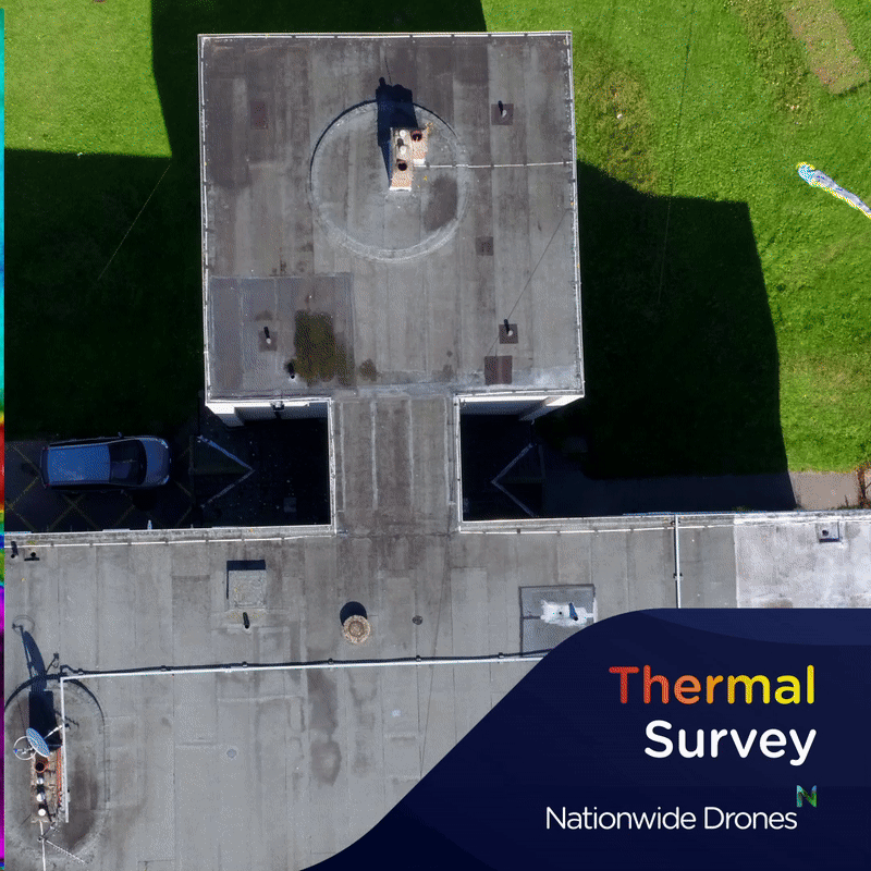
Detect heat loss, moisture and energy inefficiencies.

8K aerial photography, video and immersive content.

Real-time site data without the site visit.

Ground-level capture that joins the drone data.

RICS-style drawings from survey-grade capture.

All your data in one online viewer.

Inside the spaces people can't enter.

Centimetre-grade ground capture, flown not walked.
Tell us what you need to see and we'll scope the right combination of sensors and a quote, fast.
Through our partnership with AIM, your team can capture their own ground-based data without booking us at all. The AIM Capture app pairs with a 360 camera on a carbon pole to reach gutter and roof height in seconds. No CAA licence, no pilot, no weather window. Use it on the same visit you're already doing.
When you need to go higher, over an obstacle, or across a wider area, roof inspections, BVLOS work, area mapping, thermal capture, that's when our drone team takes over.
AIM Capture app + 360 camera + carbon pole. Walk the site, extend the pole to gutter height, capture rooflines, elevations and interiors. Anyone on the team can operate it. Hosted instantly on AIM.
See how it works →When the pole runs out of reach, the drone takes over. Full roofs, large-area mapping, thermal surveys, BVLOS inspections, complex airspace. Same AIM platform, same delivery pipeline.
See drone services →Nationwide Drones captures it. AIM Platform processes, hosts, and shares it. Every survey, scan, and 360 we deliver feeds straight into AIM, an official RICS Tech Partner and the asset information platform built for the people who manage buildings.
Our enhanced CAA permissions lets us fly closer, longer, and in more demanding environments than standard permissions allow.
Selected projects across infrastructure, construction, energy, and the built environment.
Three-part FPV inspection of new cable liner system. Hard-to-reach internal envelope captured in a single flight.
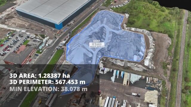
Repeat volumetric capture for cut and fill calculations. Hosted on AIM for client comparison over time.

Heritage-grade mapping and 3D modelling. Output measured surveys delivered through AIM Projects.
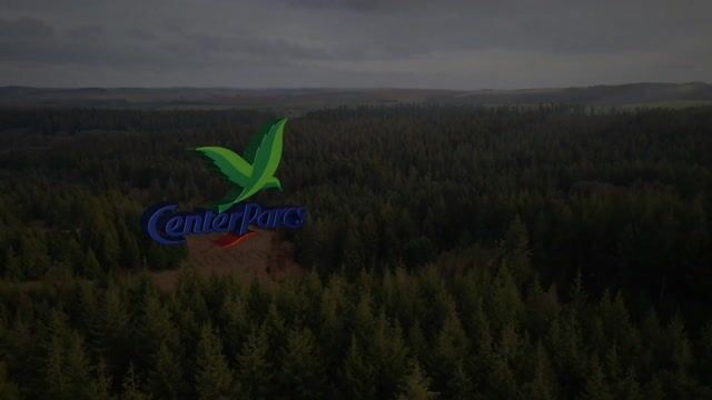
Promotional FPV showcase of resort facilities. Cinematic capture, broadcast-ready output.
High-angle vertical capture for condition reporting. No scaffolding, no MEWP, no half-day setup.
Combined drone and ground-level capture. Photogrammetry processed through the AIM pipeline.
Building a drone capability in-house means CAA paperwork, pilot training, insurance, equipment refresh, processing software, and the headcount to run it. Or you call us when the brief needs it. Same outcome, none of the overhead.
Operators trained as building surveyors, not just drone pilots. We see what the deliverable needs to show before we're in the air.
CAA enhanced permissions, BVLOS approval, full insurance. You don't touch the permissions, the risk assessment, or the paperwork.
Same project manager, same process, same software. Plymouth to Inverness, the brief never gets lost in regional handoff.
Most quotes turn around within 24 hours. Tell us the site, the sensor, and the timing, we'll handle the rest.