Local clients we work with
Public-sector and housing-association coverage.
Around Cardiff, our project pipeline regularly takes us across local authority and housing-association estates. We deliver scaffold-free roof inspections, retrofit thermography, condition surveys and BREEAM-grade thermal capture for organisations including:
Local authorities
- ✓Cardiff Council
- ✓Vale of Glamorgan Council
- ✓Caerphilly CBC
- ✓Rhondda Cynon Taf
Housing associations & estates
- ✓Wales & West Housing
- ✓Cardiff Community Housing
- ✓Hafod
- ✓Linc Cymru
- ✓Newydd
Organisation names are common sector-active examples in the region. Specific client engagements are confirmed under NDA on request.
Common questions
Drone surveys in this area
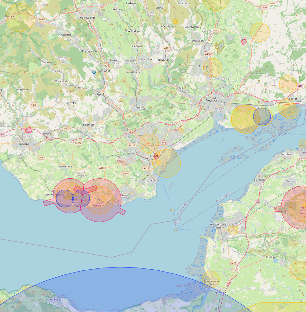
Can you fly drones near Cardiff's controlled airspace?
Yes. We operate routinely under Cardiff Airport CTR. Our enhanced CAA permissions and notification procedures let us fly safely in and around controlled airspace where standard operators are restricted, including airport approach paths and Flight Restriction Zones.
Do you cover Cardiff central areas like Cardiff Bay and City Centre?
Yes. We routinely fly across Cardiff including Cardiff Bay, City Centre and Pontcanna. Dense built-up areas, occupied commercial premises and live retail sites are all within scope under our enhanced CAA approval.
Can you fly drones near Principality Stadium or other Cardiff landmarks?
Yes, where permitted. Iconic sites like Principality Stadium sit within or near restricted areas, but we work with the landowner, the relevant authority and the CAA where needed to secure the right permissions. We have a strong track record of getting "no" sites to "yes".
Do you provide thermal drone surveys in Cardiff?
Yes. Thermal surveys are flown across Cardiff for housing portfolios, BREEAM certification work, commercial roof condition checks and solar array inspections. Best results are achieved between October and March.
Do you survey housing portfolios across Cardiff?
Yes. Multi-property thermal and roof surveys for housing associations and social landlords in Cardiff are a routine workload. Reports are produced consistently across the entire portfolio in a single AIM Platform deliverable.
Can you do construction progress monitoring on Cardiff sites?
Yes. Monthly aerial sets, volumetric reports and orthomosaics for active Cardiff construction sites are a core service. Each visit produces a side-by-side comparison against previous visits, hosted on AIM Platform.