Cities we publish dedicated guides for.
Eight of our most-requested coverage areas. Each one has a dedicated page with the local airspace context, council and housing-association references, and the project types we typically deliver there.
One central team. Same quality, same cost, nationwide. We operate UK-wide from our Warwick base, including towns, rural sites, industrial estates and the country's most complex airspace. Don't worry if your city or town isn't listed below, tell us where the site is and we'll come back with a quote.
Eight of our most-requested coverage areas. Each one has a dedicated page with the local airspace context, council and housing-association references, and the project types we typically deliver there.
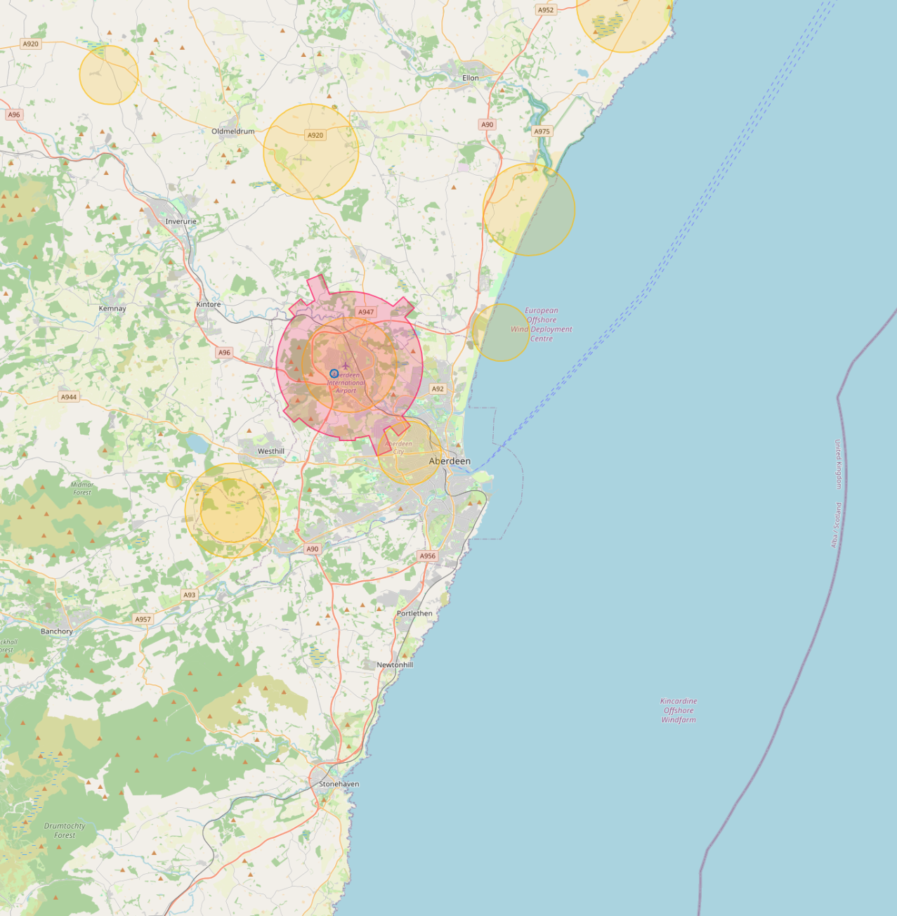
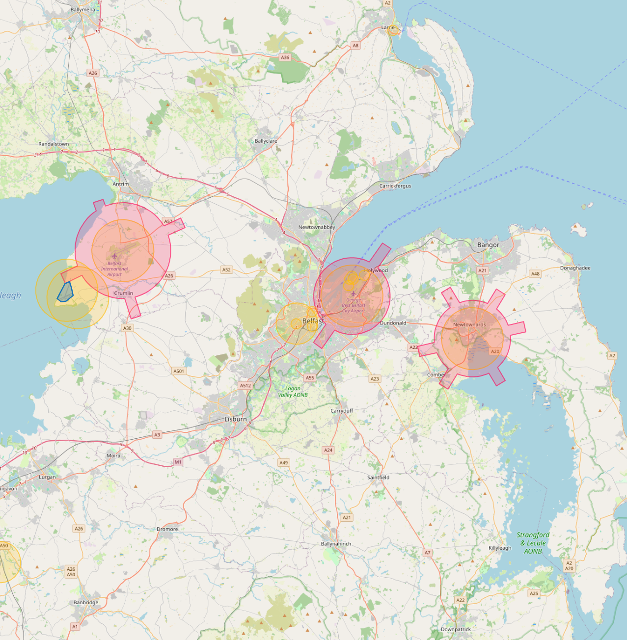
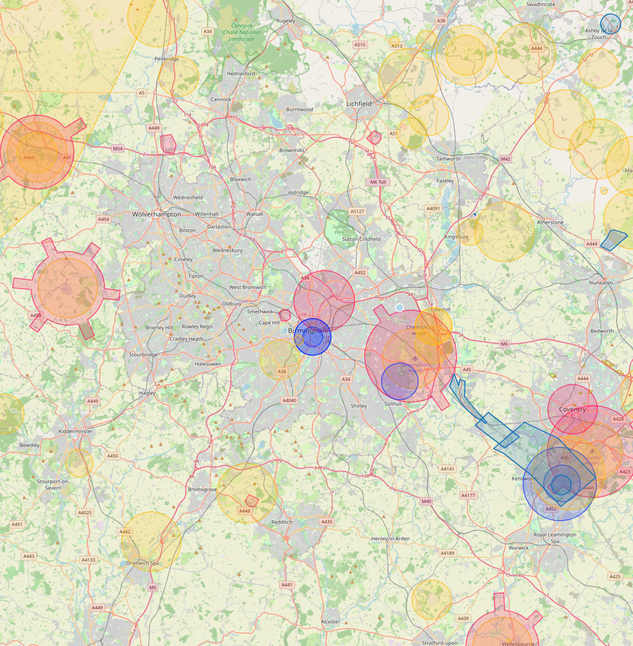
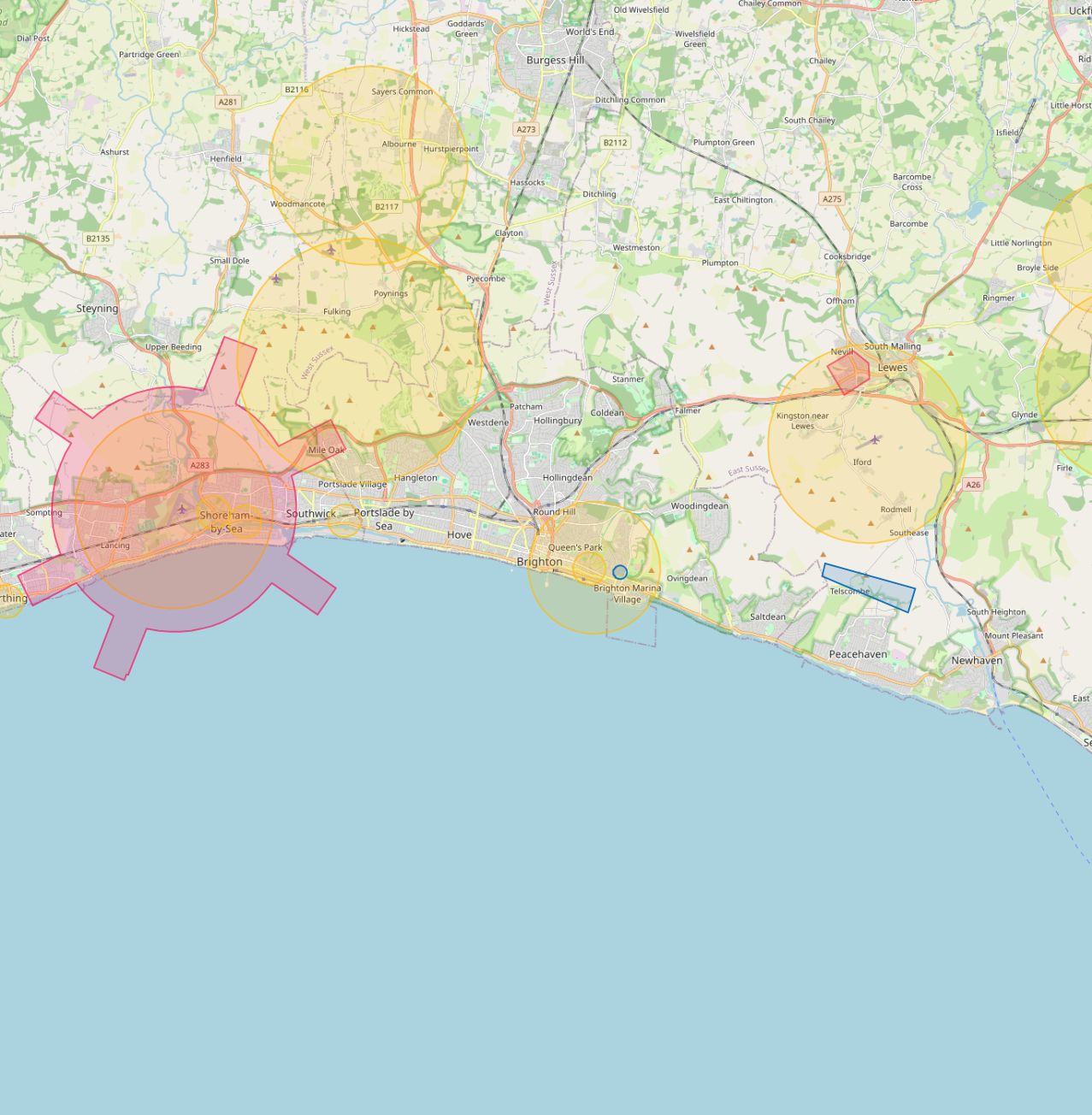
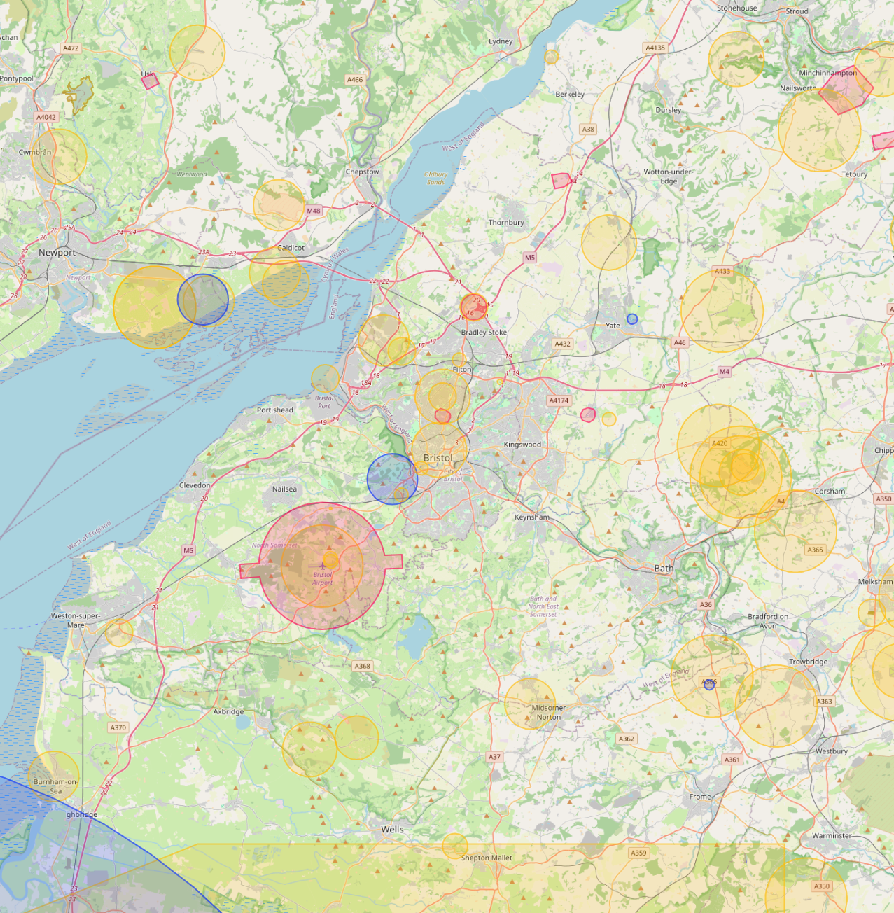
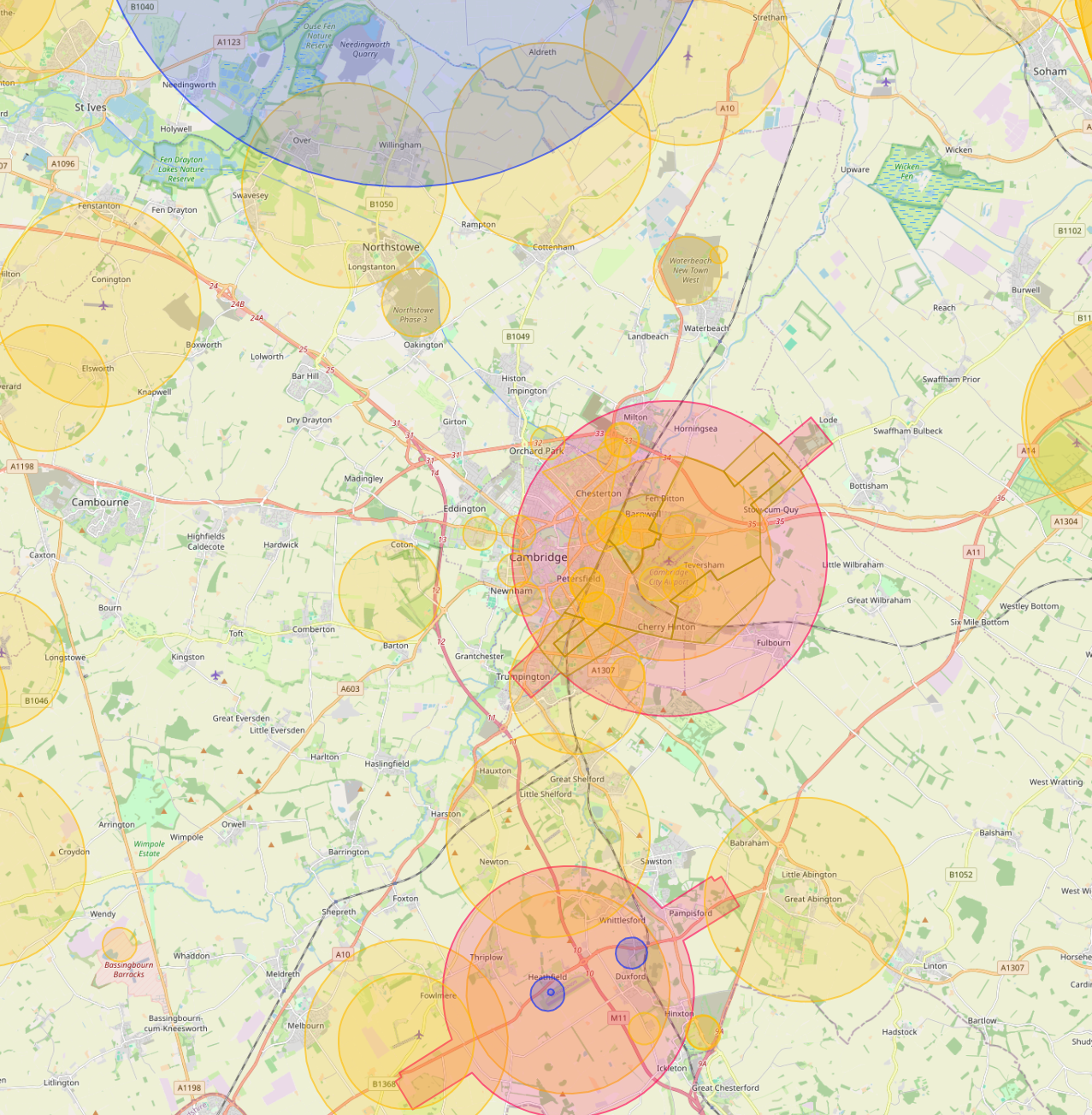
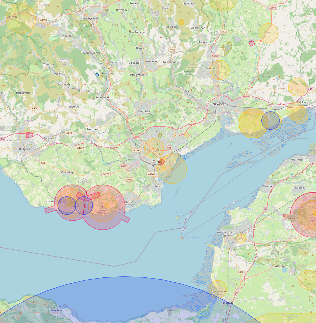
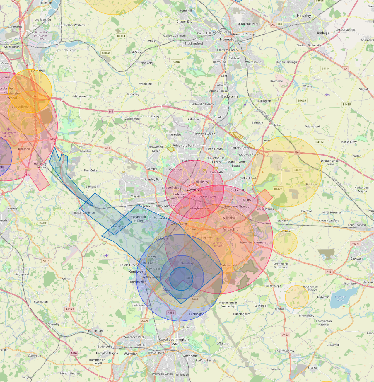
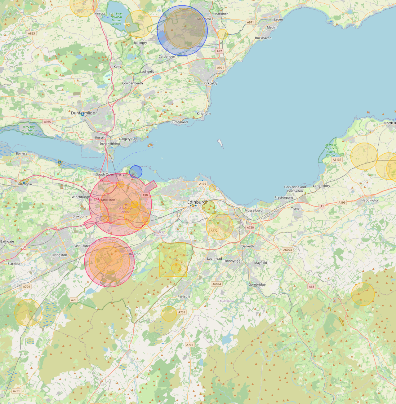
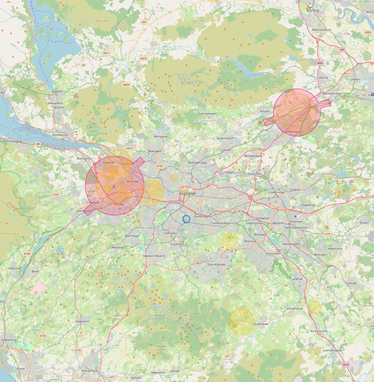
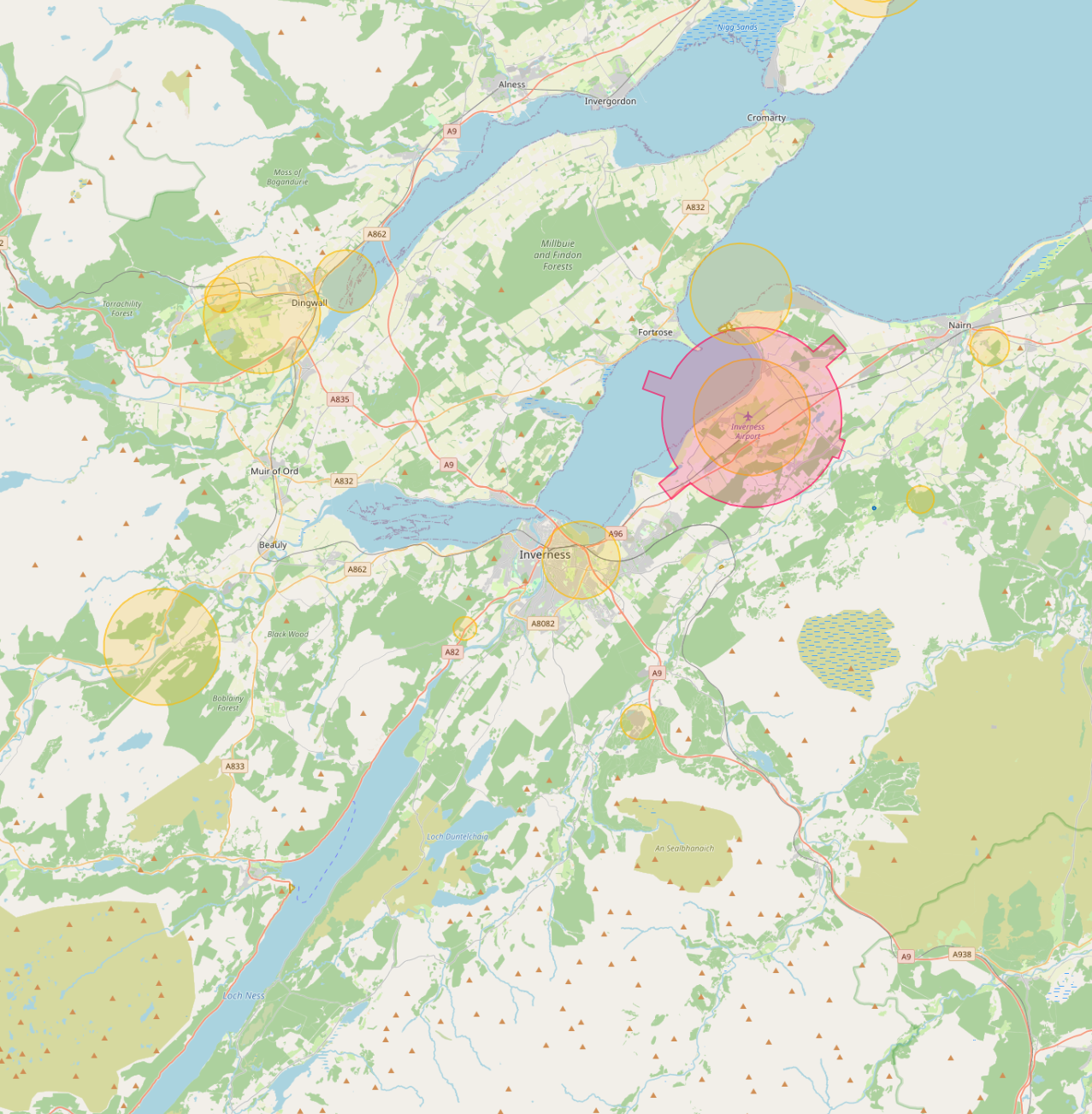
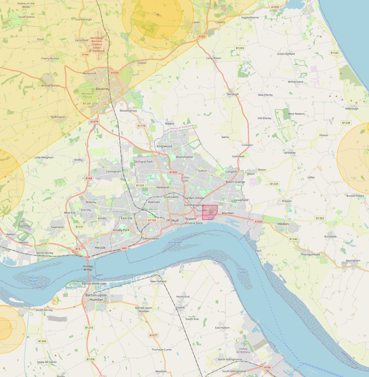
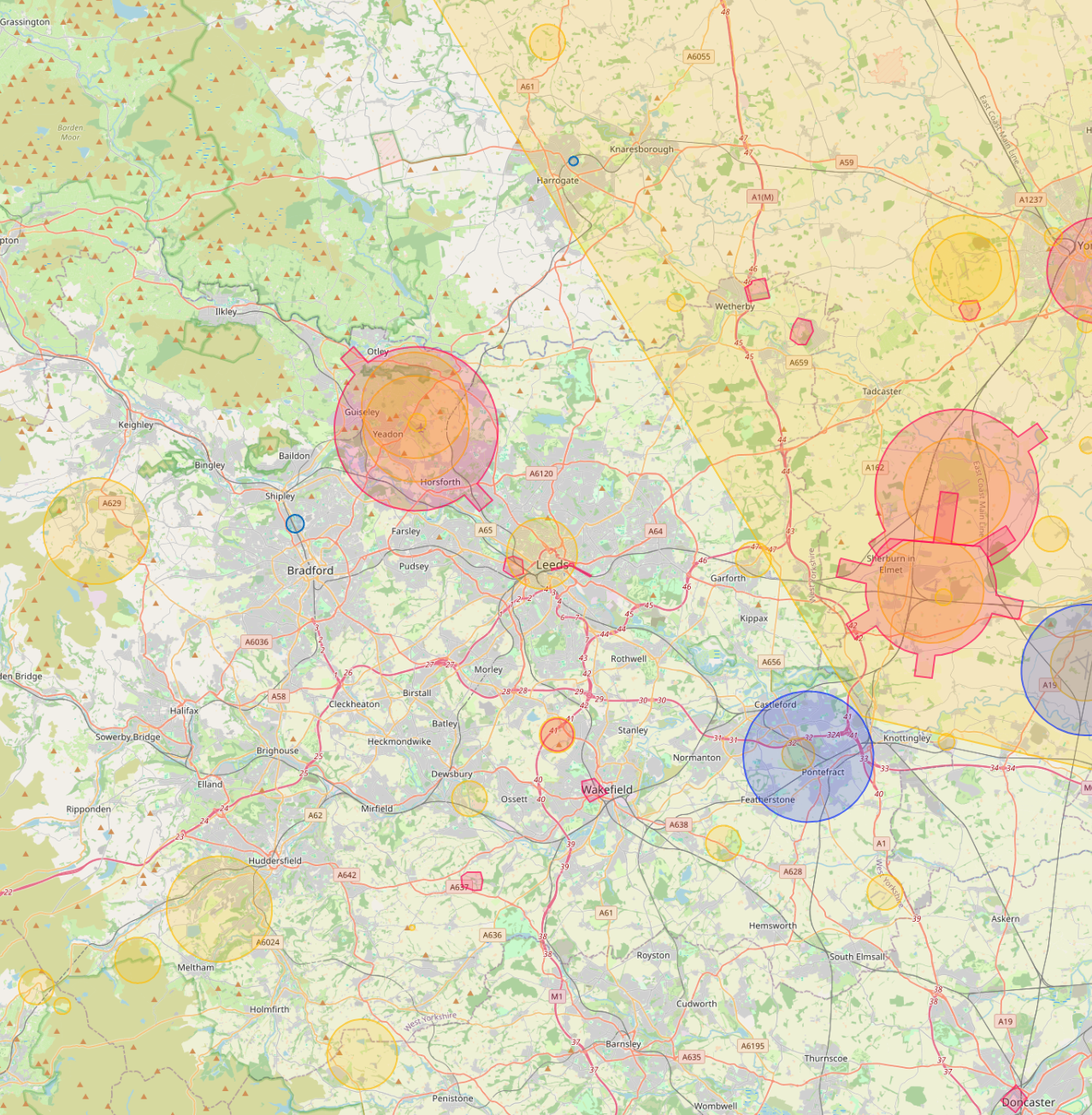
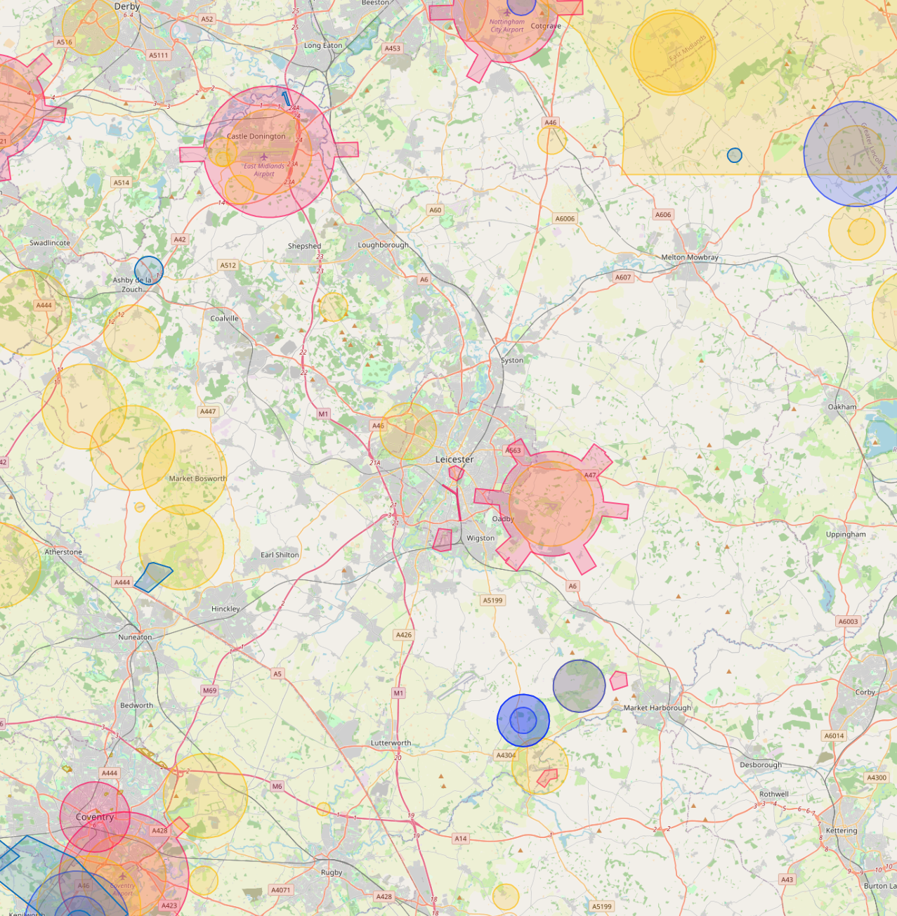
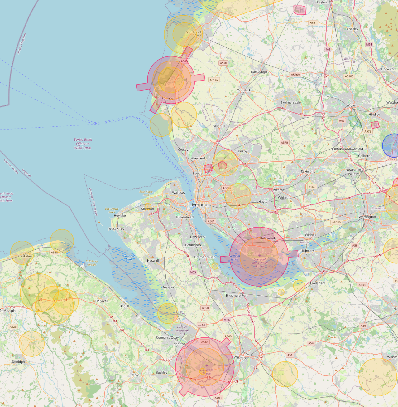
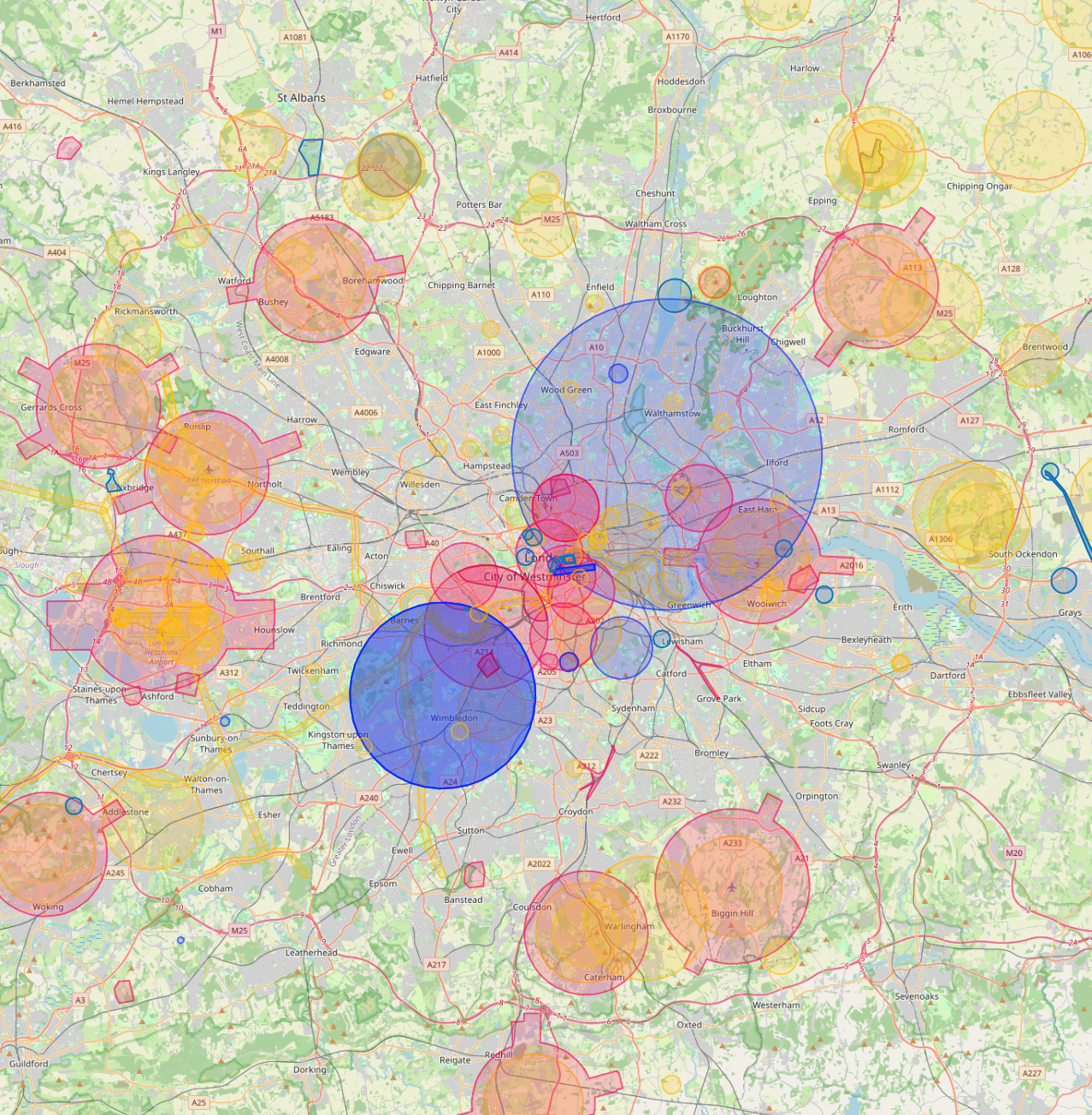
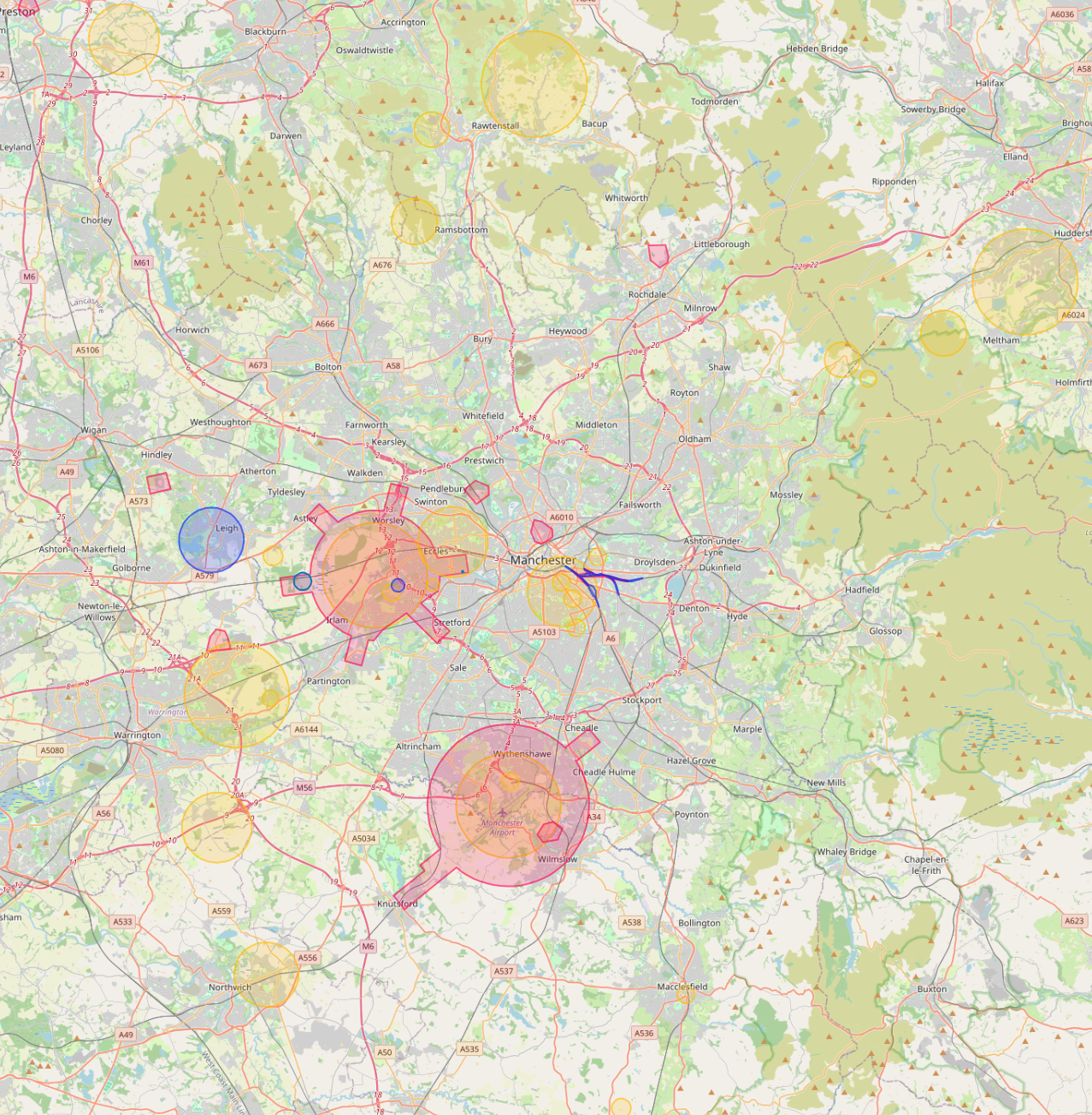
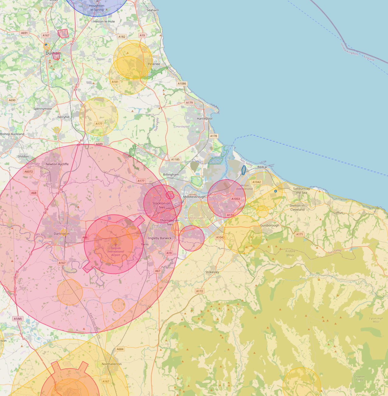
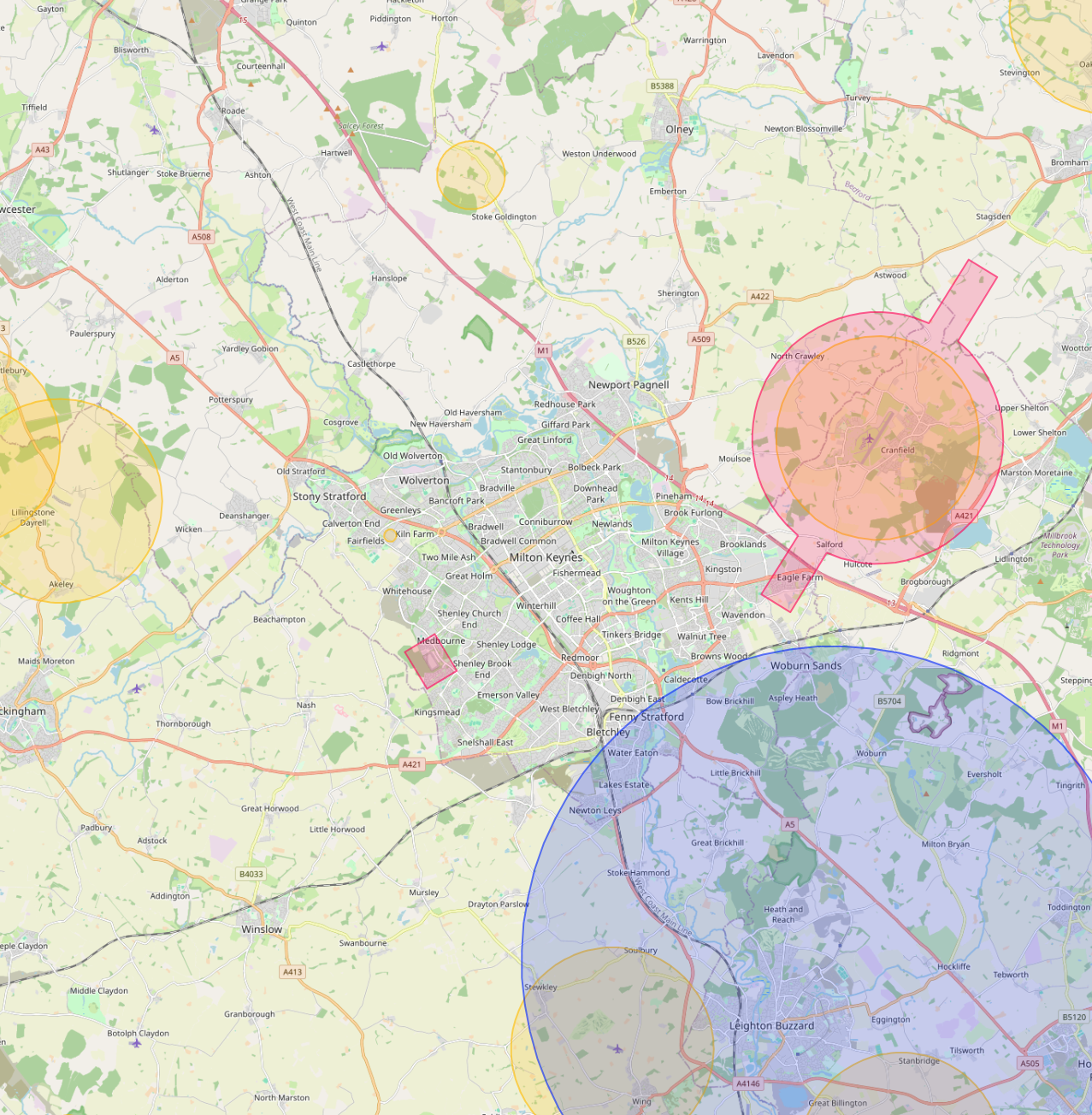
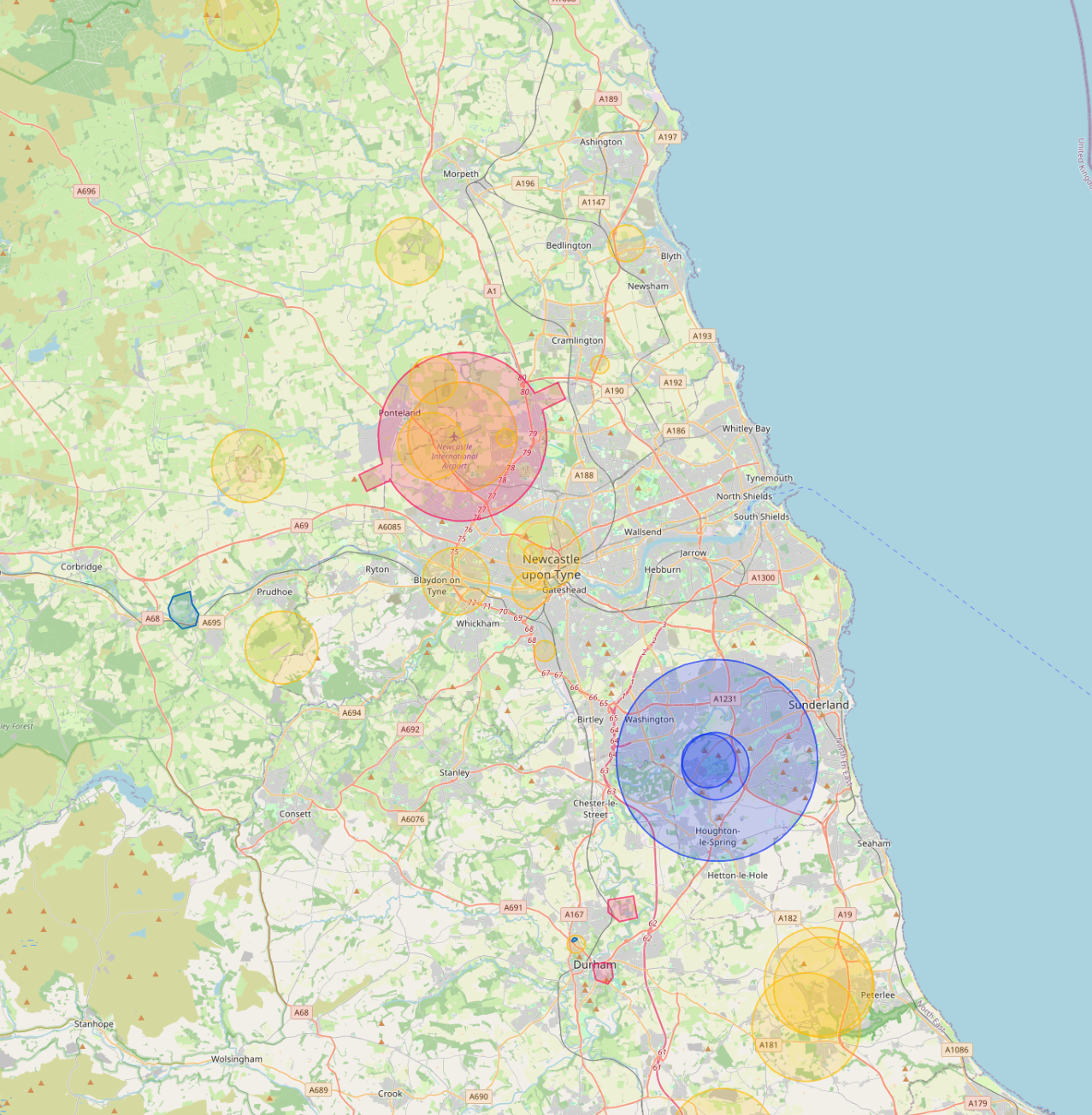
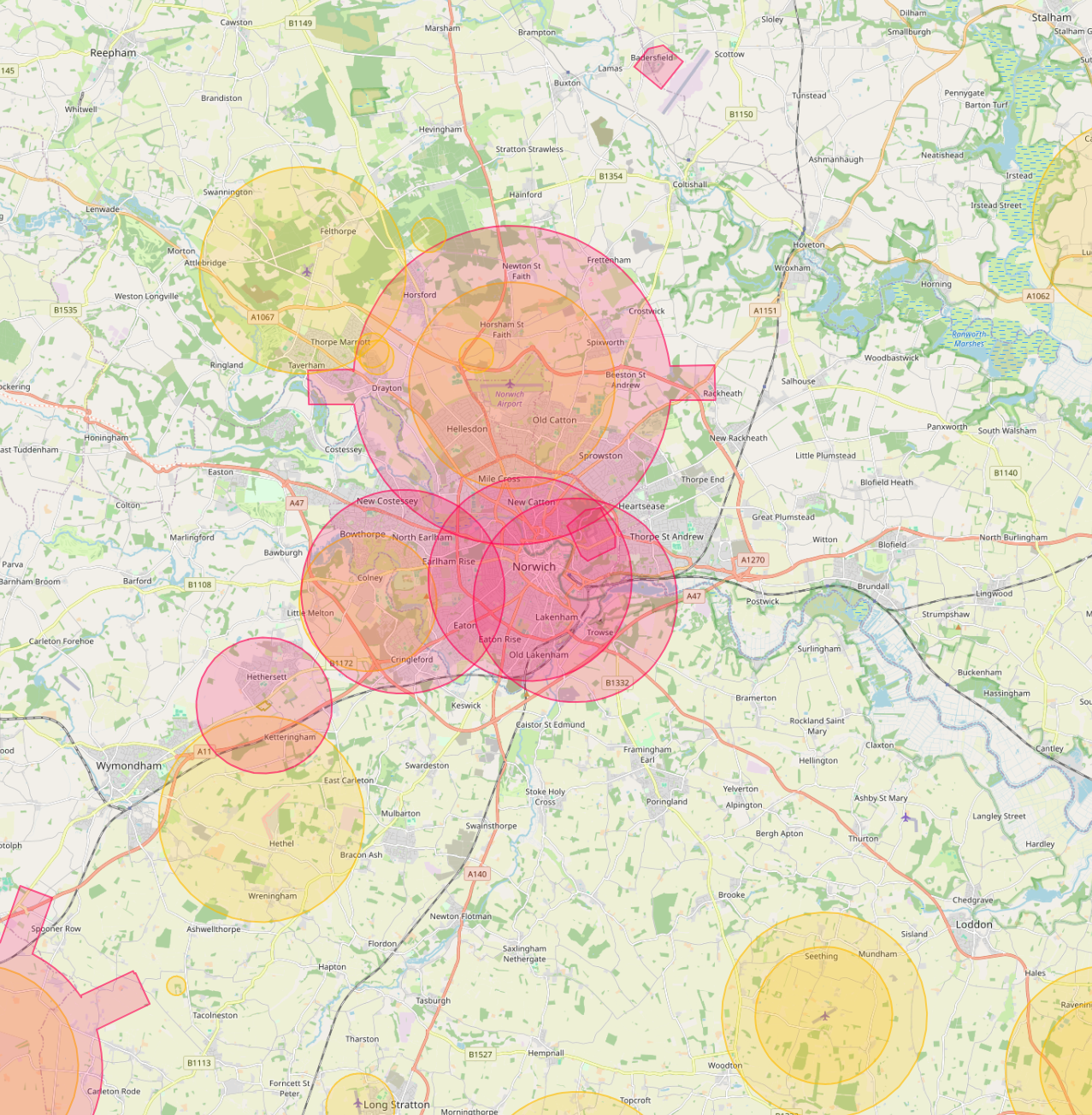
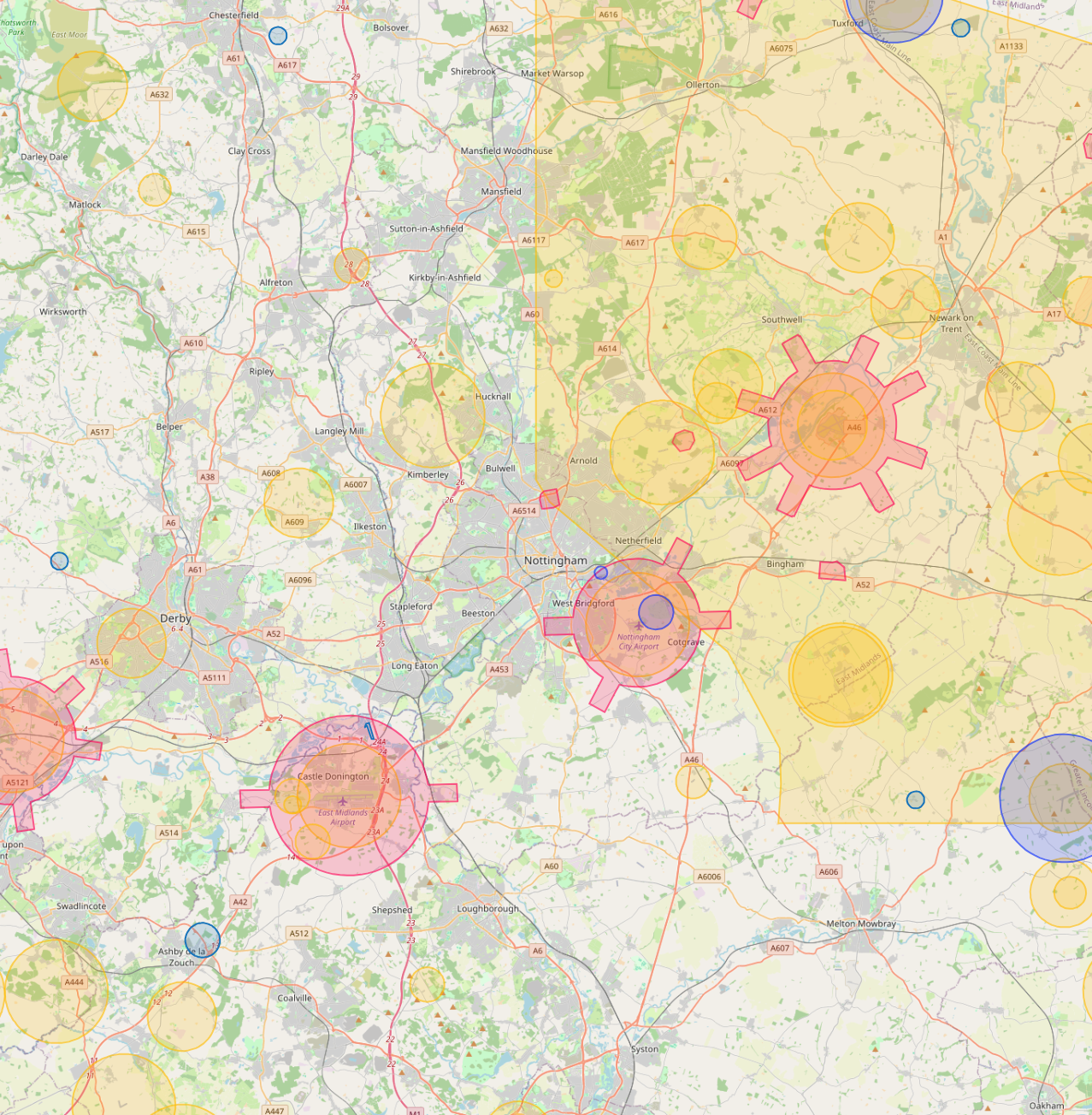
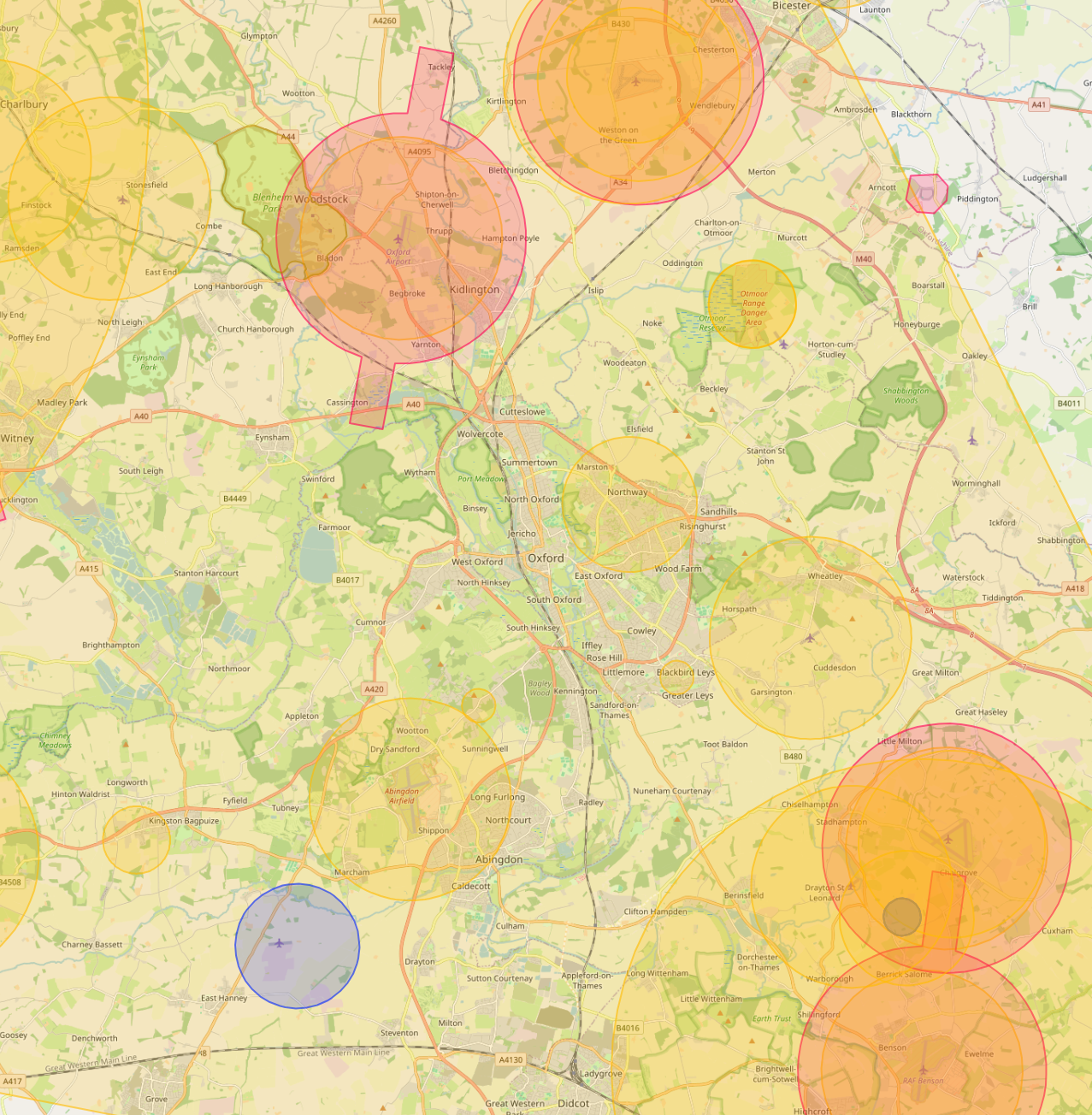
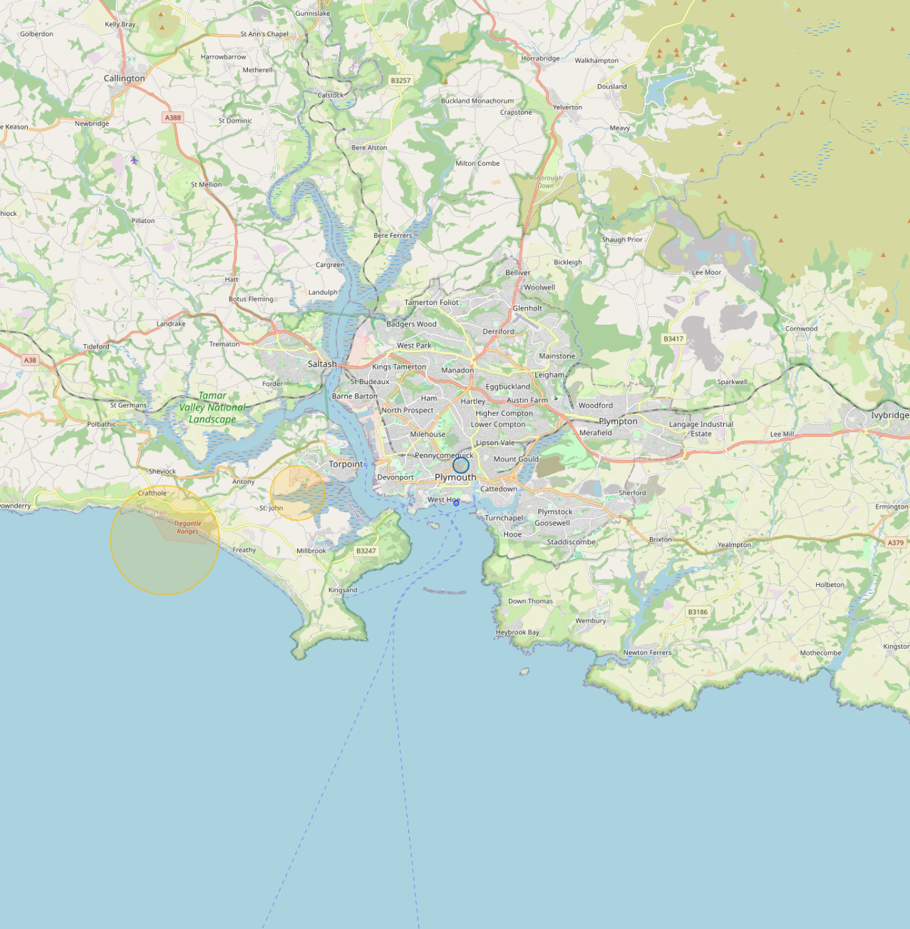
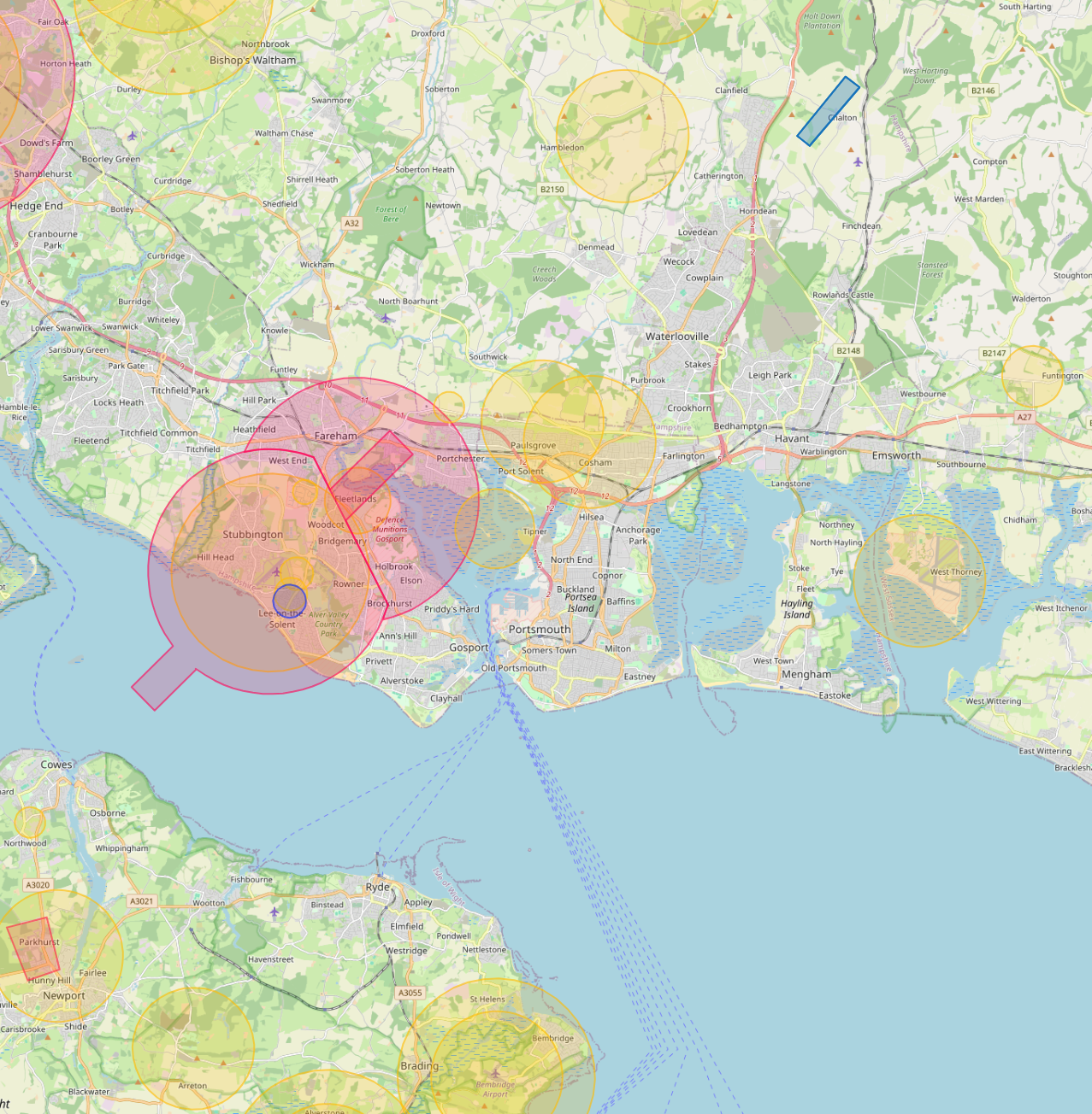
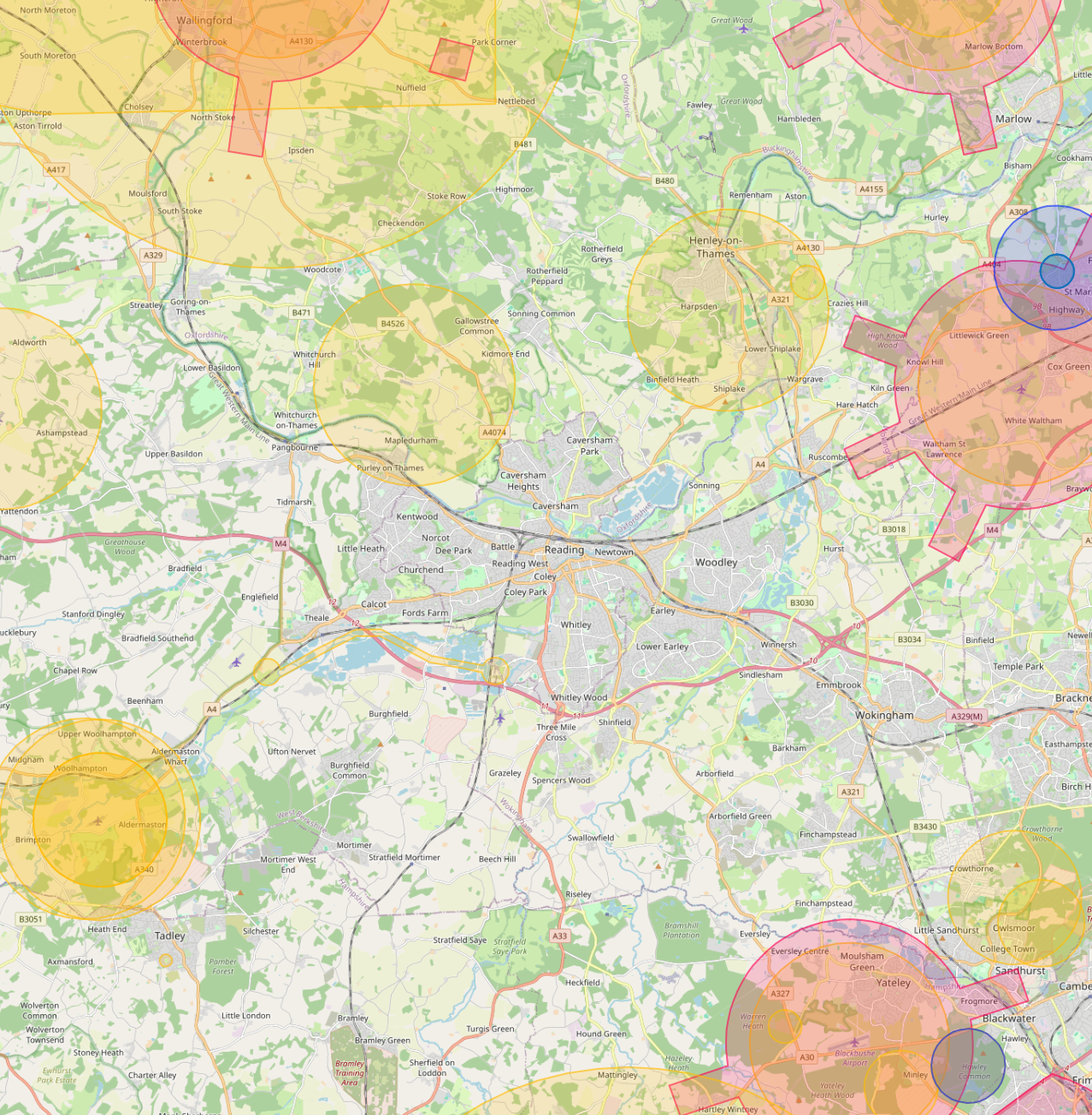
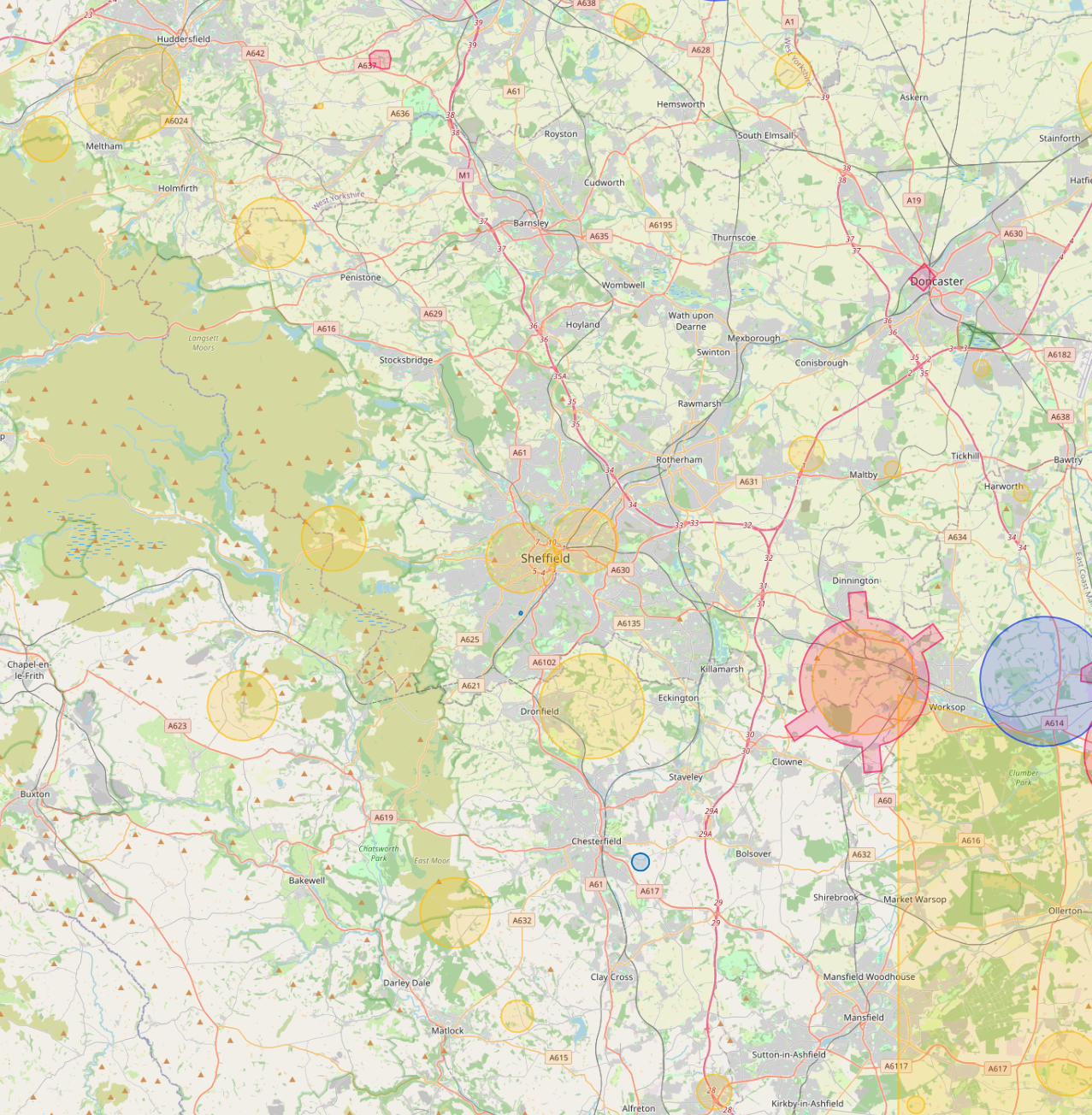
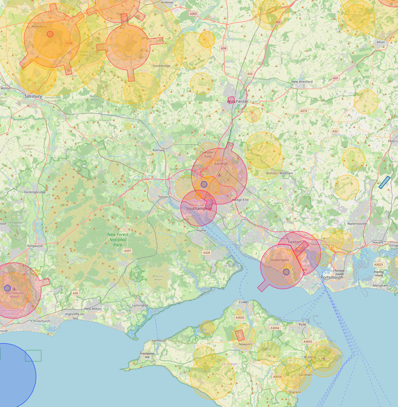
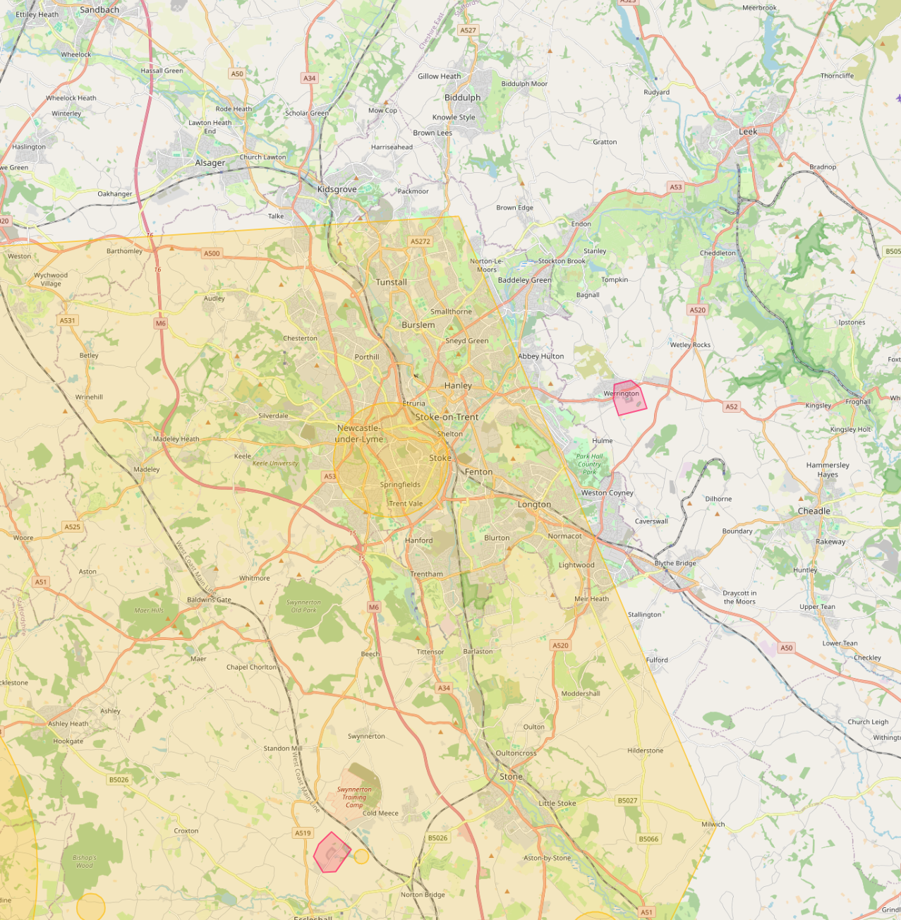
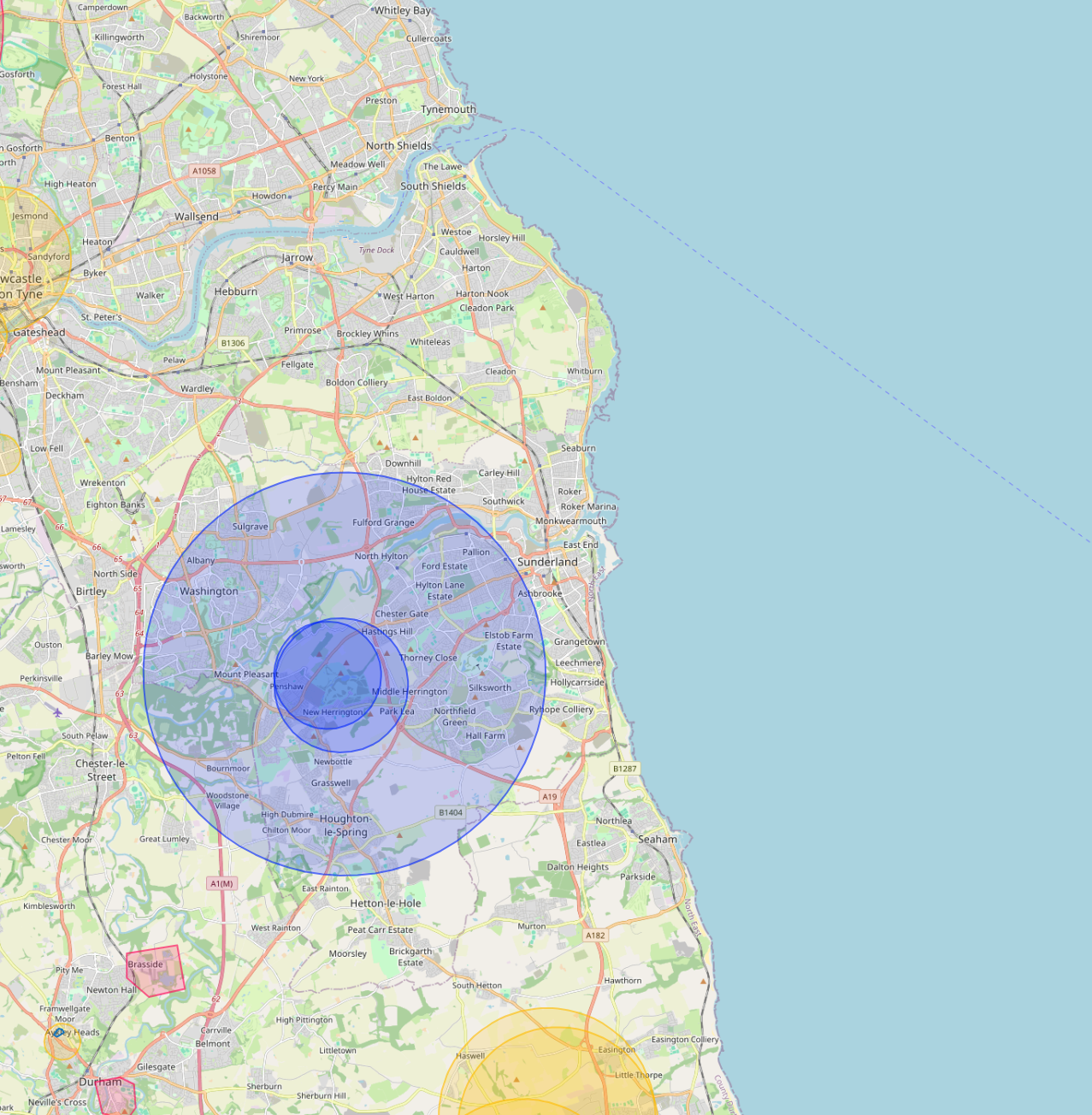
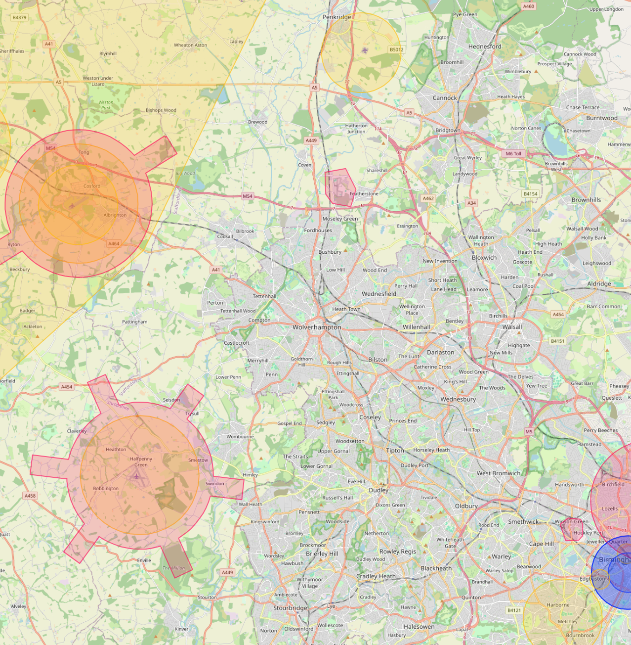
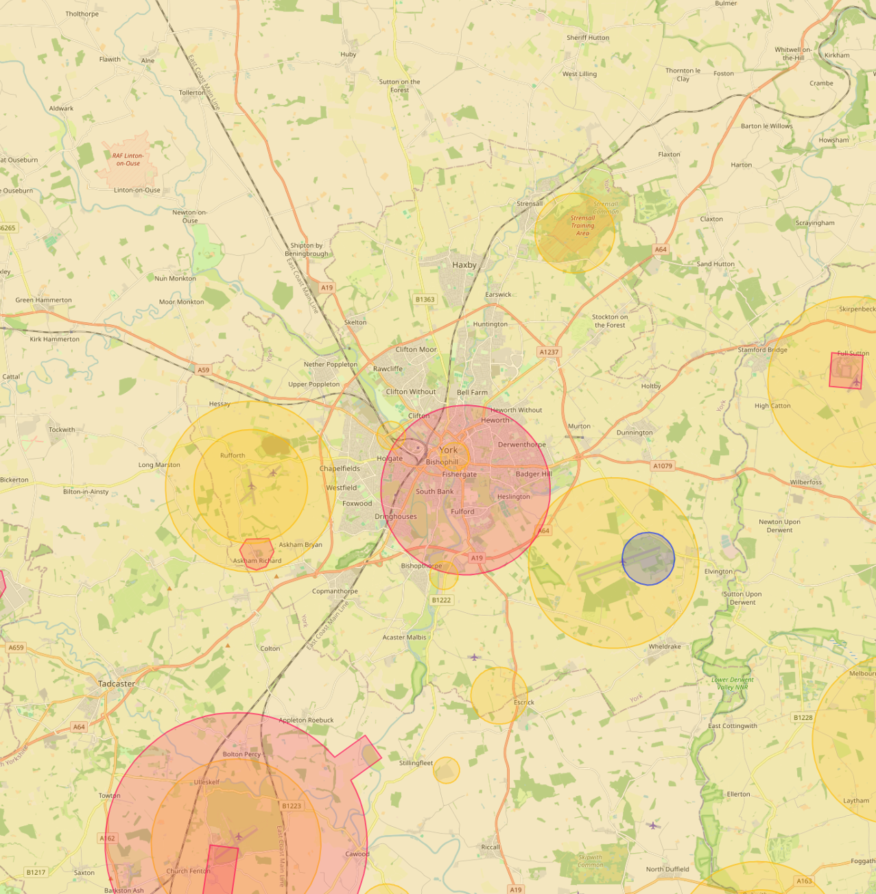
Each city page covers the local airspace constraints, the project types we typically deliver there, and the live drone safety map zoomed to that area.
Whatever the city, every project we capture lands on AIM Platform. One online viewer. Drone footage, thermal overlays, 360 walks, measured drawings, condition reports. Shared with one link, measurable in place.
We have you covered. The pages above are just the cities we publish dedicated guides for, we operate UK-wide from our Warwick base, including towns, rural sites, industrial estates and complex airspace. Tell us where the site is and we'll come back with a quote.