Local clients we work with
Public-sector and housing-association coverage.
Around Leicester, our project pipeline regularly takes us across local authority and housing-association estates. We deliver scaffold-free roof inspections, retrofit thermography, condition surveys and BREEAM-grade thermal capture for organisations including:
Local authorities
- ✓Leicester City Council
- ✓Blaby District
- ✓Charnwood Borough
- ✓Leicestershire CC
Housing associations & estates
- ✓emh group
- ✓Nottingham Community HA
- ✓EMH Care & Support
- ✓Midland Heart
Organisation names are common sector-active examples in the region. Specific client engagements are confirmed under NDA on request.
Common questions
Drone surveys in this area
Can you fly drones near Leicester's controlled airspace?
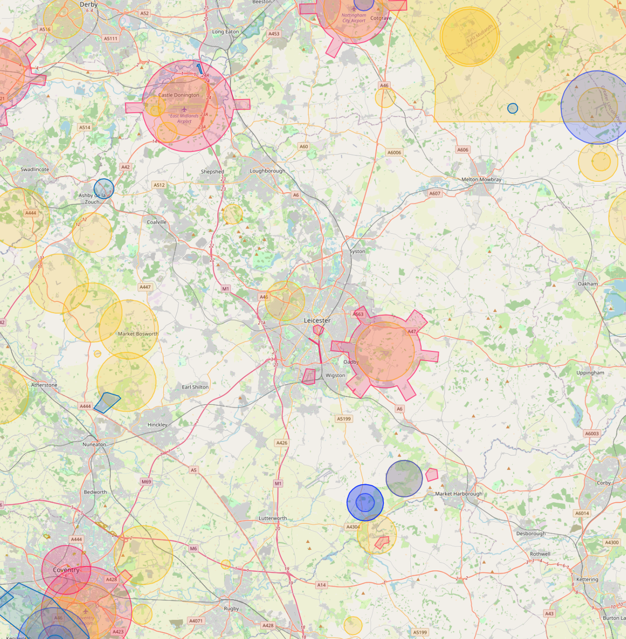
Yes. We operate routinely under East Midlands Airport CTR (15km north-west). Our enhanced CAA permissions and notification procedures let us fly safely in and around controlled airspace where standard operators are restricted, including airport approach paths and Flight Restriction Zones.
Do you cover Leicester central areas like City Centre and Highfields?
Yes. We routinely fly across Leicester including City Centre, Highfields and Belgrave. Dense built-up areas, occupied commercial premises and live retail sites are all within scope under our enhanced CAA approval.
Can you fly drones near King Richard III Visitor Centre or other Leicester landmarks?
Yes, where permitted. Iconic sites like King Richard III Visitor Centre sit within or near restricted areas, but we work with the landowner, the relevant authority and the CAA where needed to secure the right permissions. We have a strong track record of getting "no" sites to "yes".
What does a typical drone survey deliverable look like in Leicester?
You receive the captured imagery, measured outputs, and an interactive AIM Platform link for your team. Leicester jobs are deliverable in the same browser-based viewer used for projects across the UK, no software install, no per-seat licences.
Do you provide thermal drone surveys in Leicester?
Yes. Thermal surveys are flown across Leicester for housing portfolios, BREEAM certification work, commercial roof condition checks and solar array inspections. Best results are achieved between October and March.
Do you survey housing portfolios across Leicester?
Yes. Multi-property thermal and roof surveys for housing associations and social landlords in Leicester are a routine workload. Reports are produced consistently across the entire portfolio in a single AIM Platform deliverable.