Drone surveys, Nottingham

Drone surveys across Nottingham.

Commercial drone capture for East Midlands. CAA enhanced permissions, surveyor-led delivery, every project hosted on AIM Platform. From Nottingham city-centre roof inspections to estate-wide thermal surveys.

Local airspace

Nottingham airspace, live.

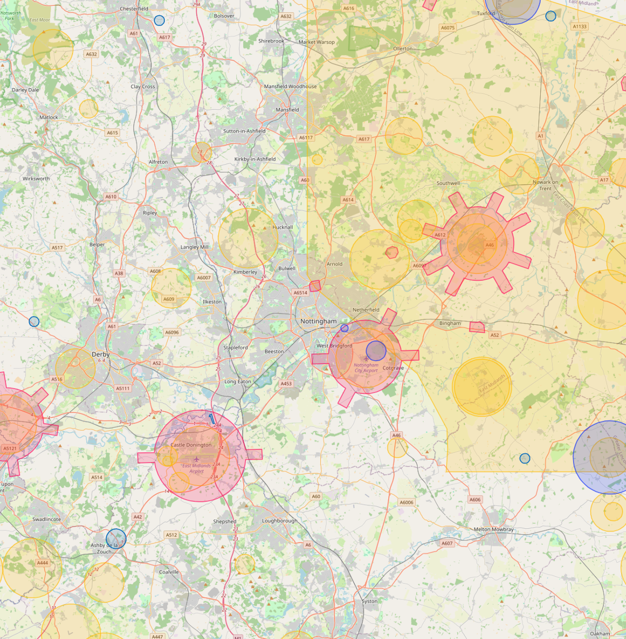
East Midlands Airport (EMA) CTR sits 20km north-west of the city. Network Rail manages Nottingham station. Nottingham City Council operates an event-filming process for the city centre.

Live flight restrictions and airspace zones around Nottingham
Live flight restriction data · Drone Safety Map View live airspace restrictions →
EMA CTR Network Rail City filming

Live airspace data from Altitude Angel via Drone Safety Map. Pan and zoom to explore restrictions around your site.

Where Nottingham clients send us

Common Nottingham project types.

University estates, retail, commercial property, healthcare, public-sector housing.

Why Nottingham firms use us

Permissions that match the airspace.

Nottingham's mid-density commercial property stock is the sweet spot for drone surveying. The surveyor's data hosting solution becomes the differentiator. AIM Hosting handles that for us.

Services in Nottingham

What we capture across the Nottingham area.

Local clients we work with

Public-sector and housing-association coverage.

Around Nottingham, our project pipeline regularly takes us across local authority and housing-association estates. We deliver scaffold-free roof inspections, retrofit thermography, condition surveys and BREEAM-grade thermal capture for organisations including:

Local authorities

  • Nottingham City Council
  • Broxtowe Borough
  • Gedling Borough
  • Rushcliffe Borough
  • Nottinghamshire CC

Housing associations & estates

  • Nottingham Community HA
  • Metropolitan Thames Valley
  • emh group
  • Futures Housing Group

Organisation names are common sector-active examples in the region. Specific client engagements are confirmed under NDA on request.

Permissions matter

Approved for business locations, airports, FRZs and restricted areas.

Most of the sites we're asked to fly, live commercial premises, near airports, inside Flight Restriction Zones, around Network Rail corridors, military air bases and Royal estates, require enhanced CAA permissions, prior notification, and an operator with the track record to coordinate with the relevant authority. We hold and operate under those permissions every day. If you've been told "no" elsewhere, our route to flying it is almost certainly already in place.

Powered by AIM

Nottingham captures, on AIM Platform.

Every Nottingham project we capture is hosted on AIM Platform, the asset-information software used by surveyors, councils and contractors across the UK. Browser-streamable. Measurable in place. Shareable with one link.

Recognised by
See AIM Platform → Watch a demo

Quote a drone survey in Nottingham.

Tell us the site, the deliverable, and any access constraints. Most quotes turn around within 24 hours.

Request a quote → See all locations
Request a quote Call us