Drone surveys, Sunderland

Drone surveys across Sunderland.

Commercial drone capture for Tyne and Wear / North East England. CAA enhanced permissions, surveyor-led delivery, every project hosted on AIM Platform. From Sunderland city-centre roof inspections to estate-wide thermal surveys.

Local airspace

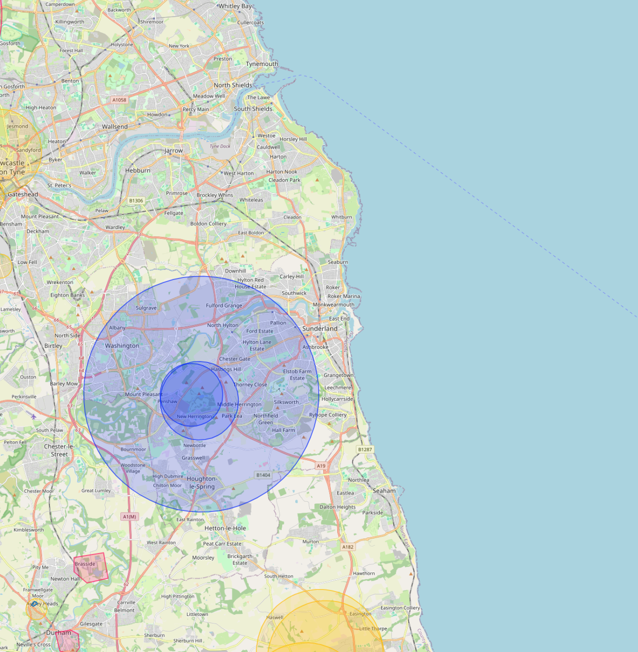
Sunderland airspace, live.

Newcastle Airport CTR covers the north-west of the metro area. Network Rail manages Sunderland station and the Tyne and Wear Metro extensions.

Live flight restrictions and airspace zones around Sunderland
Live flight restriction data · Drone Safety Map View live airspace restrictions →
NCL CTR Network Rail Sunderland Port

Live airspace data from Altitude Angel via Drone Safety Map. Pan and zoom to explore restrictions around your site.

Where Sunderland clients send us

Common Sunderland project types.

Automotive (Nissan), port, public-sector housing, university estates, manufacturing.

Why Sunderland firms use us

Permissions that match the airspace.

Sunderland's automotive estate and the port together represent some of the largest single-site industrial footprints in the North East.

Services in Sunderland

What we capture across the Sunderland area.

Local clients we work with

Public-sector and housing-association coverage.

Around Sunderland, our project pipeline regularly takes us across local authority and housing-association estates. We deliver scaffold-free roof inspections, retrofit thermography, condition surveys and BREEAM-grade thermal capture for organisations including:

Local authorities

  • Sunderland City Council
  • South Tyneside
  • Durham CC
  • Gateshead Council

Housing associations & estates

  • Gentoo Group
  • Karbon Homes
  • Bernicia
  • Home Group

Organisation names are common sector-active examples in the region. Specific client engagements are confirmed under NDA on request.

Permissions matter

Approved for business locations, airports, FRZs and restricted areas.

Most of the sites we're asked to fly, live commercial premises, near airports, inside Flight Restriction Zones, around Network Rail corridors, military air bases and Royal estates, require enhanced CAA permissions, prior notification, and an operator with the track record to coordinate with the relevant authority. We hold and operate under those permissions every day. If you've been told "no" elsewhere, our route to flying it is almost certainly already in place.

Powered by AIM

Sunderland captures, on AIM Platform.

Every Sunderland project we capture is hosted on AIM Platform, the asset-information software used by surveyors, councils and contractors across the UK. Browser-streamable. Measurable in place. Shareable with one link.

Recognised by
See AIM Platform → Watch a demo
Common questions

Drone surveys in this area

Can you fly drones near Sunderland's controlled airspace?
Yes. We operate routinely under Newcastle Airport CTR (15km north). Our enhanced CAA permissions and notification procedures let us fly safely in and around controlled airspace where standard operators are restricted, including airport approach paths and Flight Restriction Zones.
Do you cover Sunderland central areas like City Centre and Roker?
Yes. We routinely fly across Sunderland including City Centre, Roker and Sunniside. Dense built-up areas, occupied commercial premises and live retail sites are all within scope under our enhanced CAA approval.
Can you fly drones near Stadium of Light or other Sunderland landmarks?
Yes, where permitted. Iconic sites like Stadium of Light sit within or near restricted areas, but we work with the landowner, the relevant authority and the CAA where needed to secure the right permissions. We have a strong track record of getting "no" sites to "yes".
Do you survey housing portfolios across Sunderland?
Yes. Multi-property thermal and roof surveys for housing associations and social landlords in Sunderland are a routine workload. Reports are produced consistently across the entire portfolio in a single AIM Platform deliverable.
Can you do construction progress monitoring on Sunderland sites?
Yes. Monthly aerial sets, volumetric reports and orthomosaics for active Sunderland construction sites are a core service. Each visit produces a side-by-side comparison against previous visits, hosted on AIM Platform.
Can you fly drones during Sunderland working hours without disturbing the site?
Yes. Our enhanced CAA permissions let us operate at 10m from people and property while sites are live and occupied, so Sunderland commercial buildings can stay operational throughout the survey.

Quote a drone survey in Sunderland.

Tell us the site, the deliverable, and any access constraints. Most quotes turn around within 24 hours.

Request a quote → See all locations
Request a quote Call us